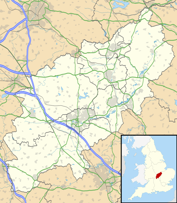
Thorpe Malsor
| Thorpe Malsor | |
 Thorpe Malsor |
|
| Population | 144 (2001 census)[1] 145 (2011 census) |
|---|---|
| OS grid reference | SP8379 |
| Civil parish | Thorpe Malsor |
| District | Kettering |
| Shire county | Northamptonshire |
| Region | East Midlands |
| Country | England |
| Sovereign state | United Kingdom |
| Post town | Kettering |
| Postcode district | NN14 |
| Police | Northamptonshire |
| Fire | Northamptonshire |
| Ambulance | East Midlands |
| EU Parliament | East Midlands |
| UK Parliament | Kettering |
|
|
Coordinates: 52°22′37″N 0°49′41″W / 52.377°N 0.828°W
Thorpe Malsor is a village and civil parish 2 miles (3 km) west of Kettering. The population at the 2011 Census was 145.[2]
The Church of England parish church of All Saints was built late in the 13th and early in the 14th centuries.[3] In 1877 the Gothic Revival architect C.C. Rolfe restored the church,[4] with Harry Hems of Exeter undertaking the carving.[3] All Saints parish is now part of a single benefice with the parishes of Broughton, Cransley and Loddington.[5]
The village well in the middle of the main street was sunk in 1589.[3] Thorpe Malsor Hall is a Jacobean house that was refenestrated in the 18th century and enlarged in 1817.[3]
References
- ↑ "Area selected: Kettering (Non-Metropolitan District)". Neighbourhood Statistics: Full Dataset View. Office for National Statistics. Retrieved 21 November 2011.
- ↑ "Civil Parish population 2011". Neighbourhood Statistics. Office for National Statistics. Retrieved 11 July 2016.
- 1 2 3 4 Pevsner & Cherry 1973, p. 428.
- ↑ Saint 1970, pp. 53ff.
- ↑ A Church Near You: All Saints, Thorpe Malsor
Further reading
- Pevsner, Nikolaus; Cherry, Bridget (1973). Northamptonshire. The Buildings of England. Harmondsworth: Penguin Books. p. 428. ISBN 0-14-071022-1.
- Saint, Andrew (1970). "Three Oxford Architects". Oxonensia. Oxfordshire Architectural and Historical Society. XXXV: 53 ff. Retrieved 3 November 2009.
External links
| Wikimedia Commons has media related to Thorpe Malsor. |
- Map sources for Thorpe Malsor
This article is issued from Wikipedia - version of the 7/11/2016. The text is available under the Creative Commons Attribution/Share Alike but additional terms may apply for the media files.