Thungathurthy
| Thungathurthy | |
|---|---|
| Village | |
| National Highway 365 | |
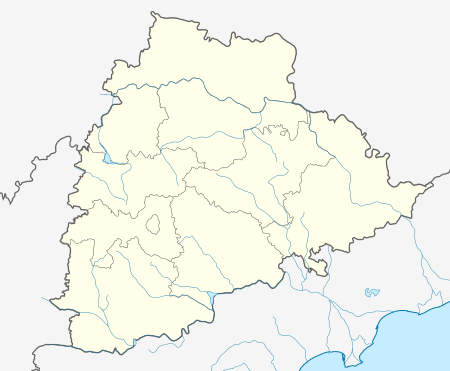 Thungathurthy  Thungathurthy Location in Telangana , India | |
| Coordinates: 17°27′24″N 79°37′33″E / 17.45667°N 79.62583°ECoordinates: 17°27′24″N 79°37′33″E / 17.45667°N 79.62583°E | |
| Country | India |
| State | Telangana |
| District | Suryapet |
| Area[1] | |
| • Total | 25.08 km2 (9.68 sq mi) |
| Population (2015)[1] | |
| • Total | 10,379 |
| • Density | 410/km2 (1,100/sq mi) |
| Time zone | IST (UTC+5:30) |
| PIN | 508280 |
| Telephone code | 08693 |
| Vehicle registration | TS–29 |
| Website |
telangana |
Thungathurthy is a village in Suryapet district of the Indian state of Telangana.It is located in Thungathurthy mandal of Suryapet Division. It is part of Bhongir Lok Sabha constituency.
References
- 1 2 "District Census Handbook - Nalgonda" (PDF). Census of India. p. 13,187. Retrieved 8 February 2016.
This article is issued from Wikipedia - version of the 11/5/2016. The text is available under the Creative Commons Attribution/Share Alike but additional terms may apply for the media files.