Thurlaston, Warwickshire
| Thurlaston | |
 Thurlaston |
|
| Population | 368 (2011) |
|---|---|
| OS grid reference | SP477710 |
| Civil parish | Thurlaston |
| District | Rugby |
| Shire county | Warwickshire |
| Region | West Midlands |
| Country | England |
| Sovereign state | United Kingdom |
| Post town | RUGBY |
| Postcode district | CV23 |
| Dialling code | 01788 |
| Police | Warwickshire |
| Fire | Warwickshire |
| Ambulance | West Midlands |
| EU Parliament | West Midlands |
| UK Parliament | Rugby and Kenilworth |
|
|
Coordinates: 52°20′N 1°18′W / 52.33°N 1.30°W
Thurlaston is a village and parish in the Rugby district of Warwickshire, England. According to the 2001 census the parish had a population of 352, increasing to 368 at the 2011 census.[1]
Location
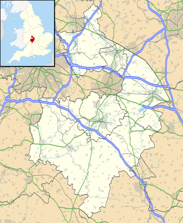
The village is located a few miles south-west of Rugby and south of the M45 motorway. The village is in a cul-de-sac location; there is only one road into the village, connecting it with the B4429. Thurlaston overlooks the Draycote Water reservoir.
The parish church is St. Edmund's. The most famous building, however, is probably the old windmill which is now used as a private house.
History and name
The name Thurlaston comes from Anglo-Saxon Þórleifestún = "the enclosure belonging to [a Viking called] Þórleif".
References
- ↑ "Civil Parish population 2011". Retrieved 1 January 2016.
External links
| Wikimedia Commons has media related to Thurlaston, Warwickshire. |
This article is issued from Wikipedia - version of the 1/24/2016. The text is available under the Creative Commons Attribution/Share Alike but additional terms may apply for the media files.