Todalsøra
| Todalsøra | |
|---|---|
| Village | |
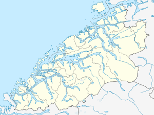 Todalsøra  Todalsøra Location in Møre og Romsdal | |
| Coordinates: 62°49′11″N 08°41′10″E / 62.81972°N 8.68611°ECoordinates: 62°49′11″N 08°41′10″E / 62.81972°N 8.68611°E | |
| Country | Norway |
| Region | Western Norway |
| County | Møre og Romsdal |
| District | Nordmøre |
| Municipality | Surnadal Municipality |
| Elevation[1] | 0.5 m (1.6 ft) |
| Time zone | CET (UTC+01:00) |
| • Summer (DST) | CEST (UTC+02:00) |
| Post Code | 6645 Todalen |
Todalsøra or Todalen is a village in Surnadal Municipality in Møre og Romsdal county, Norway. The rather isolated village is located at the end of the Todalsfjorden, about 22 kilometres (14 mi) south of Surnadalsøra and the municipal center of Skei. The mountain Vassnebba lies just to the west and the mountains Indre Sula and Ytre Sula lie just to the north. There is only one road connecting the village to the rest of Norway. The village of Ålvund in Sunndal Municipality lies 9 kilometres (5.6 mi) to the west, although there is no direct connections by road between the two villages. Todalen Church is located in this village.
References
- ↑ "Todalsøra" (in Norwegian). yr.no. Retrieved 2010-12-09.
This article is issued from Wikipedia - version of the 8/1/2016. The text is available under the Creative Commons Attribution/Share Alike but additional terms may apply for the media files.