Tornareccio
| Tornareccio | |
|---|---|
| Comune | |
| Comune di Tornareccio | |
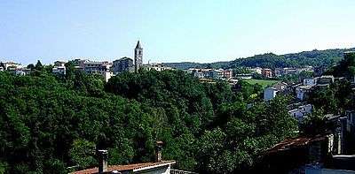 | |
 Tornareccio Location of Tornareccio in Italy | |
| Coordinates: 42°2′N 14°25′E / 42.033°N 14.417°ECoordinates: 42°2′N 14°25′E / 42.033°N 14.417°E | |
| Country | Italy |
| Region | Abruzzo |
| Province / Metropolitan city | Chieti (CH) |
| Frazioni | Collecase, San Giovanni, Torricchio |
| Area | |
| • Total | 27 km2 (10 sq mi) |
| Elevation | 630 m (2,070 ft) |
| Population (2008)[1] | |
| • Total | 1,983 |
| • Density | 73/km2 (190/sq mi) |
| Demonym(s) | Tornarecciani |
| Time zone | CET (UTC+1) |
| • Summer (DST) | CEST (UTC+2) |
| Postal code | 66046 |
| Dialing code | 0872 |
| Patron saint | Santa Vittoria |
| Saint day | 23 December |
| Website | Official website |
Tornareccio is a comune and town in the Province of Chieti in the Abruzzo region of Italy, particularly noted for its apiaries and archaeological significance. It is the site of phase III of the Sangro Valley Project.
History
The area around Tornareccio adjacent to Mount Pallano has been inhabited since the Palaeolithic, around 20,000 years ago. The first written document which speaks of Tornareccio dates to 829, when it came under the fiefdom of the Abbey of Farfa.
References
This article is issued from Wikipedia - version of the 5/14/2015. The text is available under the Creative Commons Attribution/Share Alike but additional terms may apply for the media files.