Tweeddale
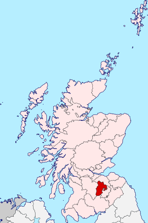
Tweeddale (Scottish Gaelic: Srath Thuaidh/Tuaidhdail) is a committee area and lieutenancy area in the Scottish Borders Council district, southeastern Scotland. Its boundaries correspond to the historic county of Peeblesshire.
Geography
It has a population of 17,394 at the latest census in 2001[1] it is the second smallest of the 5 committee areas in the Scottish Borders.
It is the traditional name for the area drained by the upper reaches of the River Tweed. This area was considered to end before the Yarrow Water flowed into the Tweed, so the area was bounded to the south and east by the Yarrow/Tweed watershed, and to the north and east by the Gala Water/Tweed watershed.
History
Tweeddale was also a historic district of Scotland, bordering Teviotdale and the Marches to the east, Liddesdale and Annandale to the south, Clydesdale to the west and Lothian to the north. It is within the historic former Peeblesshire.
The district which covered the Sheriffdoms of Peebles and Selkirk later became of the County of Peebles in the north and County of Selkirk or the "Ettrick Forest" in the south, two of the counties of Scotland.
The main reorganisation took place during the Local Government (Scotland) Act 1889, this Act established a uniform system of county councils and town councils in Scotland and officially restructured many of Scotland’s counties.
Tweeddale District
In the Scottish local government reorganisation of 1975, Tweeddale became a district in the Scottish Borders region. This district was almost identical to the former county of Peeblesshire.
See also
References
External links
| Wikimedia Commons has media related to Peeblesshire (Tweeddale). |
- Historic map showing "Tweddale, alias, The Shire of Peebles"
- Historic map showing Tweeddale in Scotland
- Historic map showing Tweeddale in Scotland
- Historic map showing Tweeddale in Scotland
- Tweeddale whisky
Coordinates: 55°45′N 3°15′W / 55.750°N 3.250°W