Valsøyfjord
| Valsøyfjord herad | |
|---|---|
| Former Municipality | |
| Municipality ID | NO-1570 |
| Area[1] | |
| • Total | 156 km2 (60 sq mi) |
| Created from | Aure in 1894 |
| Merged into | Halsa in 1965 |
| Valsøyfjord | |
|---|---|
| Village | |
 Valsøyfjord  Valsøyfjord Location in Møre og Romsdal | |
| Coordinates: 63°08′16″N 08°29′27″E / 63.13778°N 8.49083°ECoordinates: 63°08′16″N 08°29′27″E / 63.13778°N 8.49083°E | |
| Country | Norway |
| Region | Western Norway |
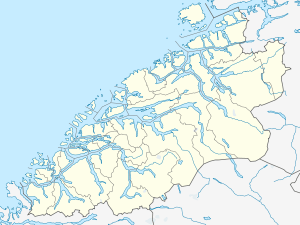
| County | Møre og Romsdal |
| District | Nordmøre |
| Municipality | Halsa |
| Elevation[2] | 20 m (70 ft) |
| Time zone | CET (UTC+01:00) |
| • Summer (DST) | CEST (UTC+02:00) |
| Post Code | 6687 Valsøyfjord |
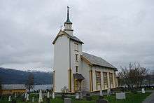
Valsøyfjord is a village and a former municipality in Møre og Romsdal county, Norway. The village is located along the Arasvikfjorden, just west of the Valsøyfjorden. The European route E39 highway runs through the village, just west of the Valsøy Bridge. There are about 800 people living in Valsøyfjord and the area surrounding the local Valsøyfjorden, and most of the people are working in agriculture and public services.
The former municipality of Valsøyfjord included the area surrounding the Valsøyfjorden and a small area north of the Arasvikfjorden on the island of Ertvågsøya. Villages in the area of the former municipality include Valsøyfjord, Valsøybotnen, Hjellnes, and Engan.[1]
History
On 1 January 1894, the southern district of Aure Municipality was separated to form the new municipality of Valsøyfjord. The initial population of Valsøyfjord was 942. On 1 January 1965, the part of Valsøyfjord on the island of Ertvågsøya (population: 141) was transferred back to Aure Municipality. On the same date, the rest of Valsøyfjord (population: 1,104) was merged into Halsa Municipality.[3]
References
- 1 2 Store norske leksikon. "Valsøyfjord" (in Norwegian). Retrieved 2010-12-10.
- ↑ "Valsøyfjord" (in Norwegian). yr.no. Retrieved 2010-12-09.
- ↑ Jukvam, Dag (1999). "Historisk oversikt over endringer i kommune- og fylkesinndelingen" (PDF) (in Norwegian). Statistisk sentralbyrå.