Verna, Goa
| Verna
वेर्णे | |
|---|---|
| Village | |
|
Padre Conceição College of Engineering in Verna | |
 Verna
वेर्णे  Verna
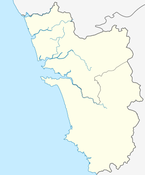
वेर्णे Location of Verna in Goa | |
| Coordinates: 15°20′57″N 73°55′53″E / 15.34917°N 73.93139°ECoordinates: 15°20′57″N 73°55′53″E / 15.34917°N 73.93139°E | |
| Country | India |
| State | Goa |
| District | South Goa |
| Sub-district | Salcete |
| Time zone | IST (UTC+5:30) |
| Postcode | 403722 |
| Area code(s) | 0832 |
| Website |
goa |

Verna is a village in Salcete, Goa, India, adjacent to the village of Nagoa. It is located approximately 10 km north of the South Goa district headquarters Margão, 18 km south-east of Vasco da Gama and 23 km south-east of the state capital Panjim.
Geography
Verna is located in Salcete, South Goa. Its geographical coordinates are 15°20′57″N 73°55′53″E / 15.34917°N 73.93139°E.
Education
The Padre Conceição College of Engineering (PCCE) is a private engineering college in Verna. The college is a part of Agnel Technical Education Complex, Verna, Goa and is the first private engineering college in the state.
Places of worship
- Mahalasa Narayani temple at Verna plateau.[1]
- Holy Cross Church is the parish church of Verna.
Hotels in Verna
Some hotels nearest to the centre of Verna are:
- Heritage Village Club (in Consua, distanced approximately 2.7 km)
- Royal Orchid Beach Resort & Spa (in Utorda, distanced approximately 3.1 km)
- Park Hyatt Resort and Spa (in Consua, distanced approximately 3.3 km)
- Casa Comoritta (in Consua, distanced approximately 3.9 km)
- Kenilworth Beach Resort & Spa (in Utorda, distanced approximately 4.0 km)
- Alila Diwa Goa (in Consua, distanced approximately 4.9 km)
- Martin's Comfort (in Betalbatim, distanced approximately 5.2 km)
Airports
Airports nearest to Verna; sorted by the distance to the airport from the city centre.
- Dabolim Airport (distanced approximately 14 km)
- Belgaum Airport (distanced approximately 94 km)
- Kolhapur Airport (distanced approximately 150 km)
- Ratnagiri Airport (distanced approximately 190 km)
- Mangalore Airport (distanced approximately 290 km)
References
- ↑ "Shri Mahalasa temple at Verna". Shri Mahalasa Narayani Temple Shrikshetra Varenyapuri, Old Mardol, Verna, Salcette, GOA. Retrieved 21 May 2015.
External links
- Padre Conceicao College of Engineering official website