Walewale
| Walewale | |
|---|---|
| District Capital | |
 Walewale Location of Walewale in Northern region | |
| Coordinates: 10°21′N 0°48′W / 10.350°N 0.800°W | |
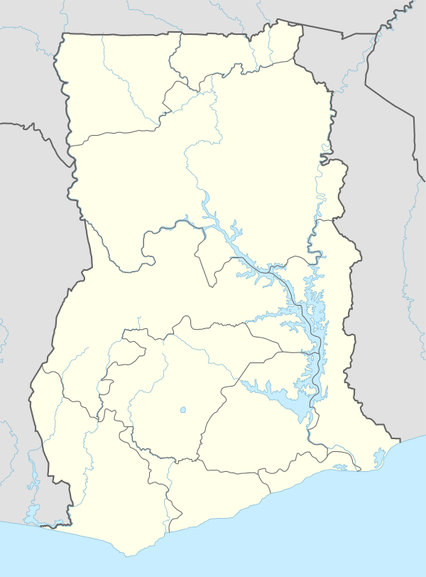
| Region | Northern Region |
| District | West Mamprusi District |
| Elevation | 545 ft (166 m) |
| Population (2013) | |
| • Total | — |
| Time zone | GMT |
| • Summer (DST) | GMT (UTC) |
Walewale is a small town and the capital of West Mamprusi district in the Northern Region of Ghana.[1] Walewale lies on the main road from Bolgatanga to Tamale, at the junction of the dirt road to the village of Nakpanduri.
Walewale's mosque, built in 1961 on the site of an earlier mud-and-stick mosque, is notable for its Moorish tower.[2]
References
- ↑ West Mamprusi district
- ↑ Philip Briggs, Bradt Ghana, 2010, p. 392.
| Metropolitan |
|  |
|---|---|---|
| Municipal |
| |
| District |
| |
Coordinates: 10°21′N 0°48′W / 10.350°N 0.800°W
This article is issued from Wikipedia - version of the 12/10/2013. The text is available under the Creative Commons Attribution/Share Alike but additional terms may apply for the media files.