Watts Mills, South Carolina
| Wattsville, South Carolina | |
|---|---|
| CDP | |
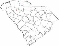 Location of Wattsville, South Carolina | |
| Coordinates: 34°30′55″N 81°59′39″W / 34.51528°N 81.99417°WCoordinates: 34°30′55″N 81°59′39″W / 34.51528°N 81.99417°W | |
| Country | United States |
| State | South Carolina |
| County | Laurens |
| Area | |
| • Total | 2.3 sq mi (5.9 km2) |
| • Land | 2.3 sq mi (5.9 km2) |
| • Water | 0.0 sq mi (0.0 km2) |
| Population (2010) | |
| • Total | 1,635 |
| • Density | 646.8/sq mi (249.7/km2) |
| Time zone | Eastern (EST) (UTC-5) |
| • Summer (DST) | EDT (UTC-4) |
| FIPS code | 45-75220[1] |
Wattsville is a census-designated place (CDP) in Laurens County, South Carolina, United States.The town got its name from Watts Mill, a textile mill in the center of town. The town is sometimes referred to as Watts Mill, which is the textile mill and not the name of the town. The population was 1,635 at the 2010 census. It is part of the Greenville–Mauldin–Easley Metropolitan Statistical Area.
Geography
Wattsville is located at 34°30′55″N 81°59′39″W / 34.515305°N 81.994227°W.[2]
According to the United States Census Bureau, the CDP has a total area of 2.3 square miles (6.0 km2), all of it land.
Demographics
As of the census[1] of 2010, there were 1,635 people, 564 households, and 356 families residing in the CDP. The population density was 646.8 people per square mile (249.4/km2). There were 629 housing units at an average density of 275.1/sq mi (106.1/km2). The racial makeup of the CDP was 68.29% White, 16.23% African American, 2.77% Native American, 0.20% Pacific Islander, 9.33% from other races, and 3.18% from two or more races. Hispanic or Latino of any race were 16.36% of the population.
There were 566 households out of which 32.7% had children under the age of 18 living with them, 41.2% were married couples living together, 14.7% had a female householder with no husband present, and 37.1% were non-families. 30.2% of all households were made up of individuals and 12.5% had someone living alone who was 65 years of age or older. The average household size was 2.61 and the average family size was 3.21.
In the CDP the population was spread out with 26.4% under the age of 18, 12.5% from 18 to 24, 29.6% from 25 to 44, 20.8% from 45 to 64, and 10.8% who were 65 years of age or older. The median age was 31 years. For every 100 females there were 110.7 males. For every 100 females age 18 and over, there were 102.4 males.
The median income for a household in the CDP was $25,046, and the median income for a family was $26,328. Males had a median income of $26,473 versus $15,833 for females. The per capita income for the CDP was $12,555. About 22.5% of families and 25.3% of the population were below the poverty line, including 39.5% of those under age 18 and 15.1% of those age 65 or over.
References
- 1 2 "American FactFinder". United States Census Bureau. Retrieved 2008-01-31.
- ↑ "US Gazetteer files: 2010, 2000, and 1990". United States Census Bureau. 2011-02-12. Retrieved 2011-04-23.
Municipalities and communities of Laurens County, South Carolina, United States | ||
|---|---|---|
| Cities | 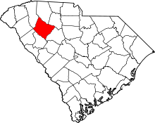 | |
| Towns | ||
| CDPs | ||
| Unincorporated communities | ||
| Footnotes | ‡This populated place also has portions in an adjacent county or counties | |