Wedde
| Wedde | |
|---|---|
| Village | |
|
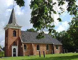
Church of Wedde in 2008 | |
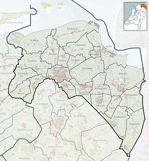 Wedde Location of Wedde in the province of Groningen | |
| Coordinates: 53°4′10″N 7°4′45″E / 53.06944°N 7.07917°ECoordinates: 53°4′10″N 7°4′45″E / 53.06944°N 7.07917°E | |
| Country | Netherlands |
| Province | Groningen |
| Municipality | Bellingwedde |
| Population (1 January 2007) | |
| • Total | 630[1] |
| Postal code | 9698[2] |
| Area code(s) | 0597[3] |
| ISO 3166 code | NL-GR |
Wedde (Dutch pronunciation: [ˈʋɛdə]) is a village in the municipality Bellingwedde in the province Groningen in the Netherlands. It is located 9 km southeast of Winschoten.
History
Wedde was a separate municipality until 1968, when it was merged with Bellingwolde to form Bellingwedde.[4] The new name Bellingwedde is a contraction of Bellingwolde and Wedde.
Geography
Wedde is located at 53°4′12″N 7°4′34″E / 53.07000°N 7.07611°E (53.07, 7.08) in the southwest of the municipality Bellingwedde, in the east of the province Groningen, in the northeast of the Netherlands. Wedde is an administrative neighbourhood (Dutch: buurt) in the district (Dutch: wijk) of Blijham.
Demographics
As of 2007, Wedde has a population of 630.[1]
Culture
The Wedderborg is a borg (castle) in the village.
References
- 1 2 CBS Statline
- ↑ (Dutch) Resultaten voor "Wedde,", Postcode.nl. Retrieved on 26 January 2014.
- ↑ (Dutch) Netnummer zoeken, Telefoonboek.nl. Retrieved on 26 January 2014.
- ↑ Ad van der Meer and Onno Boonstra, Repertorium van Nederlandse gemeenten, KNAW, 2006.
External links
 Media related to Wedde at Wikimedia Commons
- J. Kuyper, Gemeente Atlas van Nederland, 1865-1870, "Wedde". Map of the former municipality in 1868.
 |
Oude Pekela | Blijham | Vriescheloo | |
| Nieuwe Pekela | |
Veelerveen | ||
| ||||
| | ||||
| Onstwedde | Vlagtwedde |