Welhambridge
Coordinates: 53°48′03″N 0°47′40″W / 53.800737°N 0.794424°W
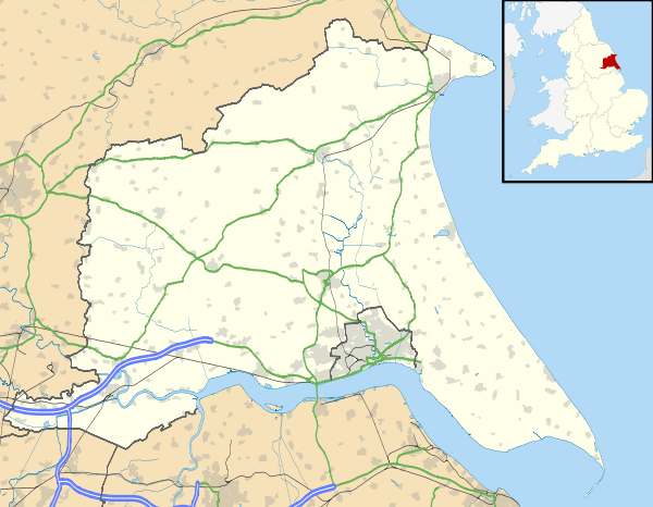
Welhambridge is a hamlet in the East Riding of Yorkshire, England. It is situated approximately 3 miles (4.8 km) south-west of the village of Holme-on-Spalding-Moor and 4 miles (6.4 km) north-east of the market town of Howden. It lies around the A614 road bridge over the River Foulness.
It forms part of the civil parish of Holme-on-Spalding-Moor.
References
- Gazetteer — A–Z of Towns Villages and Hamlets. East Riding of Yorkshire Council. 2006. p. 11.
| Wikimedia Commons has media related to Welhambridge. |
This article is issued from Wikipedia - version of the 1/24/2016. The text is available under the Creative Commons Attribution/Share Alike but additional terms may apply for the media files.
