Western Rocks (Tasmania)
For other places with the same name, see Western Rocks.
|
Detailed map of the Maatsuyker Islands Group, showing Western Rocks mid-left. | |
 Western Rocks | |
| Geography | |
|---|---|
| Location | South West Tasmania |
| Coordinates | 43°37′48″S 146°15′00″E / 43.63000°S 146.25000°ECoordinates: 43°37′48″S 146°15′00″E / 43.63000°S 146.25000°E |
| Archipelago | Maatsuyker Islands Group |
| Adjacent bodies of water | Southern Ocean |
| Area | 0.29 ha (0.72 acres)[1] |
| Highest elevation | 165 m (541 ft) |
| Administration | |
|
Australia | |
| State | Tasmania |
| Region | South West |
| Demographics | |
| Population | Unpopulated |
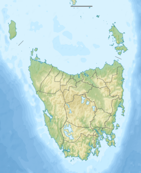
The Western Rocks, also known as Black Rocks, are a pair of islets located close to the south-western coast of Tasmania, Australia. The steep, wave-washed 0.29-hectare (0.0011 sq mi) islets are part of the Maatsuyker Islands Group, and comprises part of the Southwest National Park and the Tasmanian Wilderness World Heritage Site.[1][2]
Fauna
The only recorded breeding seabird species is the fairy prion with up to 20 pairs in a small patch of succulent vegetation.[1][2]
See also
References
- 1 2 3 "Small Southern Islands Conservation Management Statement 2002" (PDF). Tasmania Parks and Wildlife Service. 2002. Archived from the original (PDF) on 22 August 2006. Retrieved 20 July 2006.
- 1 2 Brothers, Nigel; Pemberton, David; Pryor, Helen; & Halley, Vanessa. (2001). Tasmania’s Offshore Islands: seabirds and other natural features. Tasmanian Museum and Art Gallery: Hobart. ISBN 0-7246-4816-X
This article is issued from Wikipedia - version of the 11/24/2016. The text is available under the Creative Commons Attribution/Share Alike but additional terms may apply for the media files.
