Whitefish River First Nation
| Whitefish River 4 | |
|---|---|
| Indian reserve | |
| Whitefish River Indian Reserve No. 4 | |
 Whitefish River 4 | |
| Coordinates: 46°07′N 81°42′W / 46.117°N 81.700°WCoordinates: 46°07′N 81°42′W / 46.117°N 81.700°W | |
| Country |
|
| Province |
|
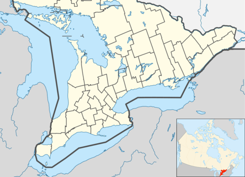
| District | Manitoulin |
| First Nation | Whitefish River |
| Area[1] | |
| • Land | 40.50 km2 (15.64 sq mi) |
| Population (2011)[1] | |
| • Total | 487 |
| • Density | 12.0/km2 (31/sq mi) |
| Website | www.whitefishriver.ca |
Whitefish River First Nation is an Ojibwe First Nation in Manitoulin District, Ontario. It is a member of the United Chiefs and Councils of Manitoulin. Its reserve is located at Whitefish River 4.
The reserve is one of the few subdivisions of Manitoulin District that is not on Manitoulin Island or its surrounding islands. This mainland peninsula also serves as a corridor for Ontario Highway 6 and the only bridge to Manitoulin Island.
References
- 1 2 "Whitefish Lake (Part) 4 census profile". 2011 Census of Population. Statistics Canada. Retrieved 27 July 2015.

This article is issued from Wikipedia - version of the 10/11/2016. The text is available under the Creative Commons Attribution/Share Alike but additional terms may apply for the media files.