Yardley Wood
Coordinates: 52°25′07″N 1°51′02″W / 52.418662°N 1.850586°W
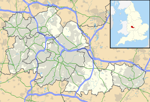
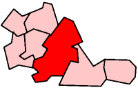
Yardley Wood is an area of Birmingham, United Kingdom, covering the eastern-most quadrant of postcode area B14 (as well as Priory Rd and adjacent streets up to the city boundary), and is located within the ward of Billesley to the south of the city.
To the west the area is contiguous with Warstock. Other nearby settlements include Billesley, Hall Green, Solihull Lodge, Highter's Heath and Kings Heath.
Yardley Wood is remote from the Birmingham suburb of Yardley which is located to the east of the city.
Transport
The area is served by Yardley Wood railway station, despite the station being located just inside the Hall Green (B28 postcode) area, as well as by the following bus routes:
.jpg)
| ..... | Yardley Wood Road | |
| 2 | Maypole to Birmingham | |
| 18 | to Bartley Green via Cotteridge/Northfield | |
| 27 | Maypole to Hawkesley via Glastonbury Road | |
| ..... | School Rd / Ravenshill Rd / Priory Rd | |
| 3 | Birmingham to Shirley Business Park | |
Additionally bus route 76 (QE Hospital to Solihull) serves the railway station. All these bus services are run by National Express West Midlands who have a large depot in Yardley Wood.
Education
Local schools include Yardley Wood Primary School, plus Highters Heath Community School (on the border with Warstock) and Our Lady of Loudes RC Primary School (on the border with Billesley).
Yardley Wood library is located on Highfield Road.

