Bromford
Coordinates: 52°30′25″N 1°49′54″W / 52.5069°N 1.8316°W
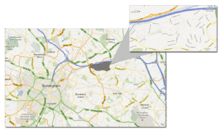
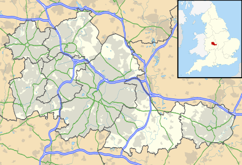
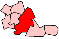
Bromford is an industrial area of Birmingham, situated between Ward End, Alum Rock, Hodge Hill, Washwood Heath, Shard End, Stechford, Castle Bromwich and Tyburn.

Toponymy
In Old English, "Bromford" means "broom ford", signifying abundance of broom shrubs (or similar hard-wearing plants) and a location to cross the River Tame.[1]
In the United Kingdom Census of 1841 the area was named as "Bromfield", however the exact location is uncertain.[1]
History
Bromford has historically been associated with two main features – the river crossing (a bridge in the area was first documented in 1317) and a mill. Bromford Mill, serving nearby Erdington, was first recorded in the Domesday Book in 1086 and was a corn mill. At around 1600, it was converted to an iron mill – the last of Birmingham's mills to do so. In the Ordnance Survey map of 1864, the mill was annotated as Bromyard Forge; its use had changed from iron milling to paper milling and finally to wire drawing and steel rolling at approximately 1850. The production of steel continued in the surrounding area until the late 20th century.
The area covered by the Firs and Bromford Estates was originally farm land. With the growth of urbanization before the War (1939–1945) the process of ribbon development took place at the southern end of Chipperfield Road. The remainder of the Firs Estate area remained farm land, except for part that was developed into a golf course, the Club House being on the site of the present Comet Hotel. While this transformation was taking place on the Firs Estate, the present Bromford Estate was being developed into the Birmingham Racecourse.
At this time, both areas came under the Parish of Castle Bromwich Church, and this link is still evident today as the Firs' Royal British Legion still use this church as their church of worship and remembrance. To this day, many people living in the area of the Firs and Bromford Estates state their address as Castle Bromwich.
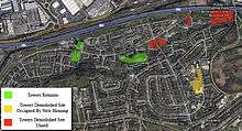
With the need for housing after the war, the area of the Firs Estate was developed by the City Council. This mainly consisted of three-story flats, high rise flats and terrace housing on a high density level.
The need for housing was the reason for the closing of Birmingham Racecourse in 1960 and the building of the Bromford Estate, which was finalised in 1966. This estate was planned on the New Town principle, containing high and low rise flats, terrace housing, and included and built within these plans were housing for Co-ownership and Private housing.
The two Estates are not, strictly speaking, distinguishable from each other, although they are easily identifiable as a joint entity by a glance at a map of the area. Local residents make a clear distinction, however between the older Firs Estate and the more recent Bromford.
A estimate of the population based on the latest Census Data, would put the population at something over 10,000 in an area of about three quarters of a square mile. There are some 1,000 households on the Firs Estate, 2,000 on the Bromford Estates, and perhaps a further 800 households in the area of older 1930s housing which lies between the post-war estates.[1]
Transport
Bromford lies on the River Tame, and is adjacent to the Birmingham and Fazeley Canal. Bromford Bridge railway station served the area between 1898 and 1965, closing when Bromford Bridge Racecourse ceased to operate.[2]
The M6 motorway cuts through Bromford. The Gravelly Hill Interchange (known as "Spaghetti Junction") is approximately 1.5 miles (2.4 km) west of Bromford.

References
- 1 2 3 Dargue, William (2 October 2008). "Bromford, Bromford Bridge, Bromford Mills, Bromyard, Bromfield". A History of Birmingham Places and Placenames. Retrieved 28 February 2010.
- ↑ Doherty, Andrew (2010). "Bromford Bridge Station". Rail Around Birmingham. Retrieved 28 February 2010.

