Yuntai, Chongqing
| Yuntai Town | |
|---|---|
| Town | |
| Chinese transcription(s) | |
| • Simplified | 云台镇 |
| • Traditional | 雲臺鎮 |
| • Pinyin | Yuntai Zhen |
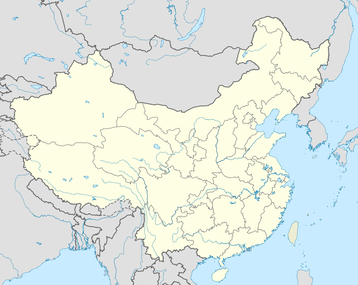
 Yuntai Town Location in China | |
| Coordinates: 30°08′19″N 107°12′11″E / 30.13861°N 107.20306°ECoordinates: 30°08′19″N 107°12′11″E / 30.13861°N 107.20306°E | |
| Country | People's Republic of China |
| City | Chongqing |
| district | Changshou District |
| Area | |
| • Total | 101.78 km2 (39.30 sq mi) |
| Population | 51,000 |
| Time zone | China Standard (UTC+8) |
| Area code(s) | 023 |
Yuntai Town (simplified Chinese: 云台镇; traditional Chinese: 雲臺鎮; pinyin: Yuntai Zhen) is an urban town in Changshou District, Chongqing, People's Republic of China.
Administrative division
The town is divided into 13 villages and 1 community, the following areas: Yuntai Community, Bazi Village, Zhaikou Village, Xiaoyan Village, Anping Village, Bajiao Village, Limin Village, Qiaoba Village, Gongqiao Village, Huangge Village, Yingzhu Village, Qingyun Village, Meituo Village, and Liyu Village (云台社区、八字村、寨口村、小岩村、安坪村、八角村、利民村、桥坝村、拱桥村、黄葛村、应祝村、青云村、梅沱村、鲤鱼村).
External links
This article is issued from Wikipedia - version of the 11/27/2016. The text is available under the Creative Commons Attribution/Share Alike but additional terms may apply for the media files.