Adelaide Airport, South Australia
This article is about the suburb in Adelaide, South Australia. For the airport, see Adelaide Airport.
| Adelaide Airport Adelaide, South Australia | |||||||||||||
|---|---|---|---|---|---|---|---|---|---|---|---|---|---|
 Adelaide Airport | |||||||||||||
| Coordinates | 34°56′38″S 138°31′48″E / 34.944°S 138.53°ECoordinates: 34°56′38″S 138°31′48″E / 34.944°S 138.53°E | ||||||||||||
| Population | 0 (2011 census)[1] | ||||||||||||
| Established | 1991[2] | ||||||||||||
| Postcode(s) | 5950[3] | ||||||||||||
| Elevation | 2 m (7 ft)[4] | ||||||||||||
| Time zone | ACST (UTC+9:30) | ||||||||||||
| • Summer (DST) | ACST (UTC+10:30) | ||||||||||||
| Location | 6 km (4 mi) west of Adelaide city centre | ||||||||||||
| LGA(s) | City of West Torrens | ||||||||||||
| State electorate(s) | West Torrens[5] | ||||||||||||
| Federal Division(s) | Hindmarsh[6] | ||||||||||||
| |||||||||||||
| |||||||||||||
| Footnotes |
Location[2][3] Climatic data[4] | ||||||||||||
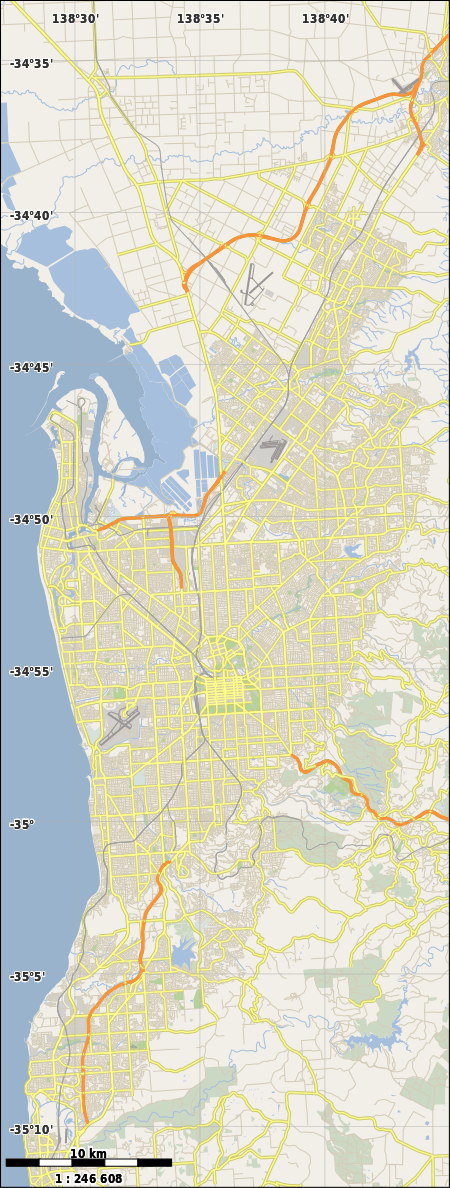
Adelaide Airport is a suburb in the City of West Torrens west of the Adelaide City Centre. The suburb was proclaimed in 1991.[7] Almost the entire area of the suburb is taken up by the Adelaide Airport and associated businesses. There is also Harbour Town shopping centre on the western side of the suburb.
The suburb is bounded by Tapleys Hill Road on the west and Sir Donald Bradman Drive and the Anna Meares Bike Path on the north. The eastern and southern boundaries match the airport boundaries.
See also
References
- ↑ "2011 Census QuickStats - Adelaide Airport Code SSC40003 (SSC)". Australian Bureau of Statistics. Retrieved 2 December 2015.
- 1 2 "Placename Details: Adelaide Airport". Property Location Browser. Government of South Australia. 13 October 2009. SA0012016 (suburb). Retrieved 4 January 2016.
- 1 2 "Adelaide Airport Postcode". Australian Postcode Search. Retrieved 2 December 2015.
- 1 2 "Summary (climate) statistics ADELAIDE AIRPORT". Commonwealth of Australia , Bureau of Meteorology. Retrieved 2 December 2015.
- ↑ "District of West Torrens map". Electoral Commission SA. Retrieved 2 December 2015.
- ↑ "Federal electoral division of Hindmarsh, boundary gazetted 16 December 2011" (PDF). Australian Electoral Commission. Retrieved 2 December 2015.
- ↑ "Suburbs and rural localities list" (PDF). The Government of South Australia, Department of Planning, Transport and Infrastructure. 1 May 2015. p. 2. Retrieved 4 January 2016.
This article is issued from Wikipedia - version of the 1/6/2016. The text is available under the Creative Commons Attribution/Share Alike but additional terms may apply for the media files.