Al-Darbasiyah
| Al-Darbasiyah الدرباسية Dirbêsiyê | |
|---|---|
| Town | |
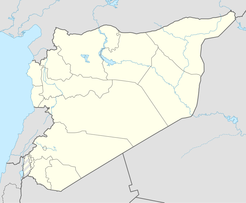 Al-Darbasiyah Location in Syria | |
| Coordinates: 37°4′22″N 40°39′7″E / 37.07278°N 40.65194°ECoordinates: 37°4′22″N 40°39′7″E / 37.07278°N 40.65194°E | |
| Country |
|
| Governorate | Al-Hasakah Governorate |
| District | Ras al-Ayn District |
| Nahiyah | Al-Darbasiyah |
| Elevation | 300 m (1,000 ft) |
| Population (2004 census)[1] | |
| • Total | 8,551 |
| Time zone | EET (UTC+2) |
| • Summer (DST) | +3 (UTC) |
| Area code(s) | 52 |
Al-Darbasiyah (Arabic: الدرباسية, Kurdish: Dirbêsiyê) is a Syrian town on the Syrian-Turkish border opposite the Turkish town of Senyurt. Administratively it is part of the Al-Hasakah Governorate. According to the Syria Central Bureau of Statistics (CBS), al-Darbasiyah had a population of 8,551 in the 2004 census. It is the administrative center of a nahiyah ("subdistrict") consisting of 113 localities with a combined population of 55,614 in 2004.[1] The inhabitants of the town are predominantly Kurds.
It is connected by road to Tell Beydar in the south.
Since July 2012, the town has been under Kurdish control.[2]
References
- 1 2 General Census of Population and Housing 2004. Syria Central Bureau of Statistics (CBS). Al-Hasakah Governorate. (Arabic)
- ↑ "Kurdish Syria: From cultural to armed revolution". 28 July 2012. Egypt Independent.

This article is issued from Wikipedia - version of the 6/30/2016. The text is available under the Creative Commons Attribution/Share Alike but additional terms may apply for the media files.