Ariana Governorate
| Ariana أريانة | |
|---|---|
| Governorate | |
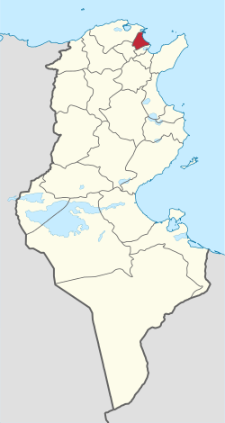 Map of Tunisia with Ariana highlighted | |
| Coordinates: 36°51′45″N 10°11′44″E / 36.86250°N 10.19556°ECoordinates: 36°51′45″N 10°11′44″E / 36.86250°N 10.19556°E | |
| Country | Tunisia |
| Created | March 1, 1983[1] |
| Capital | Aryanah |
| Government | |
| • Governor | Mahdi Zaoui |
| Area | |
| • Total | 482 km2 (186 sq mi) |
| Area rank | Ranked 23rd of 24 |
| Population (2014) | |
| • Total | 576,088 |
| • Rank | Ranked 9th of 24 |
| • Density | 1,200/km2 (3,100/sq mi) |
| Time zone | CET (UTC+01) |
| Postal prefix | xx |
| ISO 3166 code | TN-12 |
Ariana Governorate (Arabic: ولاية أريانة Wilāyat Aryānah pronounced [ærˈjæːnæ]) is one of the twenty-four governorates (provinces) of Tunisia. It is in northern Tunisia, approximately triangular, having as one of its sides part of the Gulf of Tunis, it covers an area of 482 km²[1] and has a population of 576,088 (2014 census).[2] The capital is Aryanah.
Geography
The governorate borders the governorates of Tunis and Bizerte.
The average temperature is 18.7 °C, and annual rainfall is 450 millimeters.[1]
Administrative divisions
Administratively, the governorate is divided into seven delegations (mutamadiyat), six municipalities, four rural councils, and 42 sectors (imadas).[1] The delegations and their populations from the 2004 and 2014 censuses,[2] are listed below:
| Delegation | Population in 2004 | Population in 2014 |
|---|---|---|
| Ariana Medina | 97,687 | 114,486 |
| Ettadhamen | 78,311 | 84,312 |
| Kalaat el Andalous | 23,045 | 26,796 |
| Mnihla | 53,752 | 89,884 |
| Raoued | 60,896 | 106,414 |
| Sidi Thabet | 19,404 | 24,503 |
| Soukra | 89,151 | 129,693 |
The following six municipalities are located in Ariana Governorate:
| Code | Municipality | Population (2014)[3] |
|---|---|---|
| 1211 | Ariana | 114,486 |
| 1212 | La Soukra | 129,693 |
| 1213 | Raoued | 94,961 |
| 1214 | Kalâat el-Andalous | 18,211 |
| 1215 | Sidi Thabet | 11,351 |
| 1216 | Ettadhamen-Mnihla | 142,953 |
References
- 1 2 3 4 (French) "tunisieindustrie.nat.tn".
- 1 2 "2014 Tunisian census data".
- ↑ Recensement Général de la Population et de l'Habitat 2014 – Population, logements et ménages par commune et arrondissement [Census 2014 results – population, accommodation and households per municipality and delegation] (Report) (in French). National Institute of Statistics. 1 April 2015. Retrieved 18 February 2016.
WikiProject Tunisia | ||