Ashton Vale
| Ashton Vale | |
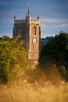 A church in Ashton Vale |
|
 Ashton Vale |
|
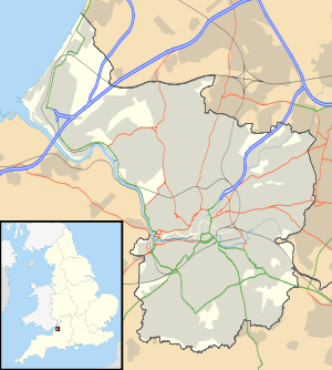
| OS grid reference | ST567705 |
|---|---|
| Unitary authority | Bristol |
| Region | South West |
| Country | England |
| Sovereign state | United Kingdom |
| Post town | BRISTOL |
| Postcode district | BS3 |
| Dialling code | 0117 |
| Police | Avon and Somerset |
| Fire | Avon |
| Ambulance | South Western |
| EU Parliament | South West England |
| UK Parliament | Bristol South |
Coordinates: 51°25′56″N 2°37′25″W / 51.432193°N 2.623522°W

Ashton Vale is a suburb located in the Bedminster ward of Bristol, United Kingdom. It is located in the very south-western edge of the city. Ashton Vale is a mixture of residential and light industry.
It is served by Ashton Vale Primary School.[1]
Ashton Vale was the home of British Cellophane in the 1980s.
The Portishead Railway runs along the eastern edge of the suburb and the Bristol to Taunton Line along the south. The nearest station is Parson Street railway station. It is also near the proposed Ashton Gate railway station.
Sport
Bristol City F.C. were planning to build a stadium in the area, to be called Bristol City Stadium to replace Ashton Gate Stadium. However the land nearby is used for recreational purposes and residents have proposed that the land should be classified as a village green.[2] The decision for the development plans was to be decided in late 2013 but plans have been postponed pending development of Ashton Gate Stadium.[3][4]
Ashton Vale is the base of Bristol Indoor Bowls Club.
References
- ↑ "Ashton Vale Primary School". Retrieved 13 January 2013.
- ↑ "Council votes for Ashton Vale town green compromise". BBC News. 16 June 2011. Retrieved 13 January 2014.
- ↑ "Bristol City stadium: Ashton Vale town green inquiry postponed". BBC News. 9 September 2013. Retrieved 13 January 2014.
- ↑ "Ashton Vale: deal understood to have been struck over future of stadium site". Bristol Post. 6 September 2013. Retrieved 13 January 2014.