Bajaur Agency
| Bajaur | |
|---|---|
| Agency | |
| Urdu transcription(s) | |
| • Perso-Arabic script | باجوړ |
 Bajaur | |
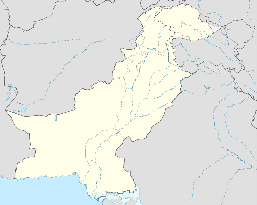
| Coordinates: 34°41′N 71°30′E / 34.683°N 71.500°ECoordinates: 34°41′N 71°30′E / 34.683°N 71.500°E | |
| Country | Pakistan |
| Province | Federally Administered Tribal Areas (FATA) |
| Administration HQ | Khaar |
| Tehsils |
List
|
| Government[1] | |
| • The Political Agent | Engineer Abdul Aamer Khattak (DMG/PAS Officer) |
| • Additional Political Agent | Muhammad Irfan Uddin |
| • Assistant Political Agent (Khaar) | Muhammad Ali |
| • Assistant Political Agent (Nawagai) | Fayaz Sherpao |
| • The Commandant bajaur scouts | Col Nayyar Zaman |
| Area[2] | |
| • Total | 1,290 km2 (500 sq mi) |
| Population (1998)[3] | |
| • Total | 595,227 |
| Demonym(s) | Bajauri |
| Time zone | PST (UTC+5) |
| • Summer (DST) | PDT (UTC+6) |
Bajaur or Bajur or Bajour (Pashto: باجوړ) is an agency of the Federally Administered Tribal Areas (FATA) of Pakistan. Smallest of the agencies in FATA, it has a hilly terrain. According to the 1998 census, the population was 595,227[3] but other more recent estimates it has grown to 757,000. It borders Afghanistan's Kunar Province with a 52 km border. The headquarters of the agency administration is located in the town of Khaar.
Bajaur is inhabited almost exclusively by Tarkani (Tarkalani) Pashtuns, and there are their main sub-tribes in Bajaur: Utman Khel, Tarkalanri, Mamund (Kakazai, Wur and Salarzai) as well as a small population of Safis. The Utman Khel are at the southeast of Bajaur, while Mamund are at the southwest, and the Tarkani are at the north of Bajaur. Its border with Afghanistan's Kunar province makes it of strategic importance to Pakistan and the region.
Geography
Bajour is about 45 miles (72 km) long by 20 miles (32 km) broad, and lies at a high level to the east of the Kunar Valley, from which it is separated by a continuous line of rugged frontier hills, forming a barrier easily passable at one or two points. Across this barrier, the old road from Kabul to Pakistan ran before the Khyber Pass was adopted as the main route.
To the south of Bajour is the wild mountain district of the Mohmands. To the east, beyond the Panjkora river, are the hills of Swat, dominated by another Pashtun group. To the north is an intervening watershed between Bajour and the small tehsil of Dir. It is over this watershed and through the valley of Dir, that the new road from Malakand and the Punjab runs to Chitral. The drainage of Bajour flows eastwards, starting from the eastern slopes of the dividing ridge, which overlooks the Kunar and terminating in the Panjkora river, so that the district lies on a slope tilting gradually downwards from the Kunar ridge to the Panjkora. Nawagai is the chief town of Bajour, and the Khan of Nawagai was previously under British protection for the purpose of safeguarding of the Chitral road.[4]
Jandol, one of the northern valleys of Bajour, has ceased to be of political importance since the 19th century, when a previous chief, Umra Khan, failed to appropriate himself Bajour, Dir, and a great part of the Kunar valley. It was the active hostility between the amir of Kabul (who claimed sovereignty of the same districts) and Umra Khan that led, firstly to the demarcation agreement of 1893 which fixed the boundary of Afghanistan in Kunar; and, secondly, to the invasion of Chitral by Umra Khan (who was no party to the boundary settlement), and the siege of the Chitral fort in 1895.[4]
Major towns are Khaar and Inayat Killi.
An interesting feature in the topography is a mountain spur from the Kunar range, which, curving eastwards, culminates in the well-known peak of Koh-i-Mor, which is visible from the Peshawar valley. It was here, at the foot of the mountain, that Alexander the Great founded the ancient city of Nysa and the Nysaean colony, traditionally said to have been founded by Dionysus. The Koh-i-Mor has been identified as the Meros of Arrian's history—the three-peaked mountain from which the god issued.[4]
History and events
Ancient History
The area was the site of the ancient Scythian kingdom of Apraca from the 1st century BCE to the 1st century CE, and a stronghold of the Aspasioi, a western branch of the Ashvakas (q.v) of the Sanskrit texts who had earlier offered stubborn resistance to the Macedonian invader Alexander the Great in 326 BCE. The whole region came under Kushan control after the conquests of Kujula Kadphises during the first century CE.[5][6]
Babur's attack on Bajaur
In 1518, Babur had invested and conquered the fortress of Bajaur, The Gabar-Kot from Sultan Mir Haider Ali Gabari the Jahangirian Sultan and gone on to conquer Bhera on the river Jhelum,a little beyond the salt ranges.The Jahangiri Dynasty well had known chain of Royal-Tajik family who were the descendants of Cyrus the Great Sultan Skandar Zulqarnain of the Akhamanche Royal class of ancient Persia.the River Indus, these formed the traditional defensive frontier of India. Babur claimed these areas as his own, because they had been part of Taimur's empire. Hence, "picturing as our own the countries once occupied by the Turks",[7] he ordered that "there was to be no overrunning or plundering [of the countryside]".[7] It may be noted that this applied to areas which did not offer resistance, because earlier, at Bajaur, where the Pashtun tribesmen had resisted, he had ordered a general massacare, with their women and children being made captive.[7]
Babur justifies this massacre by saying, "the Bajauris were rebels and at enmity with the people of Islam, and as, by heathenish and hostile customs prevailing in their midst, the very name of Islam was rooted out...".[8]
As the Bajauris were rebels and inimical to the people of Islam, the men were subjected to a general massacre and their wives and children were made captive. At a guess, more than 3,000 men met their death. We entered the fort and inspected it. On the walls, in houses, streets and alleys, the dead lay, in what numbers! Those walking around had to jump over the corpses.[9][lower-alpha 1]
Recent decades
During the Soviet invasion in the 1980s, the area was a critical staging ground for Afghan and local mujahideen to organise and conduct raids. It still hosts a large population of Afghan refugees sympathetic to Gulbuddin Hekmatyar, a mujahideen leader ideologically close to the Arab militants. Today, the United States believes militants based in Bajaur launch frequent attacks on American and Afghan troops in Afghanistan. There have been some unconfirmed media reports about the possibility of Osama bin Laden finding refuge in the area. An aerial attack, executed by the United States targeting Ayman al-Zawahiri, took place in a village in Bajaur Agency on January 13, 2006, killing 18 people.[10] Al-Zawahiri was not found among the dead and the incident led to severe outrage in the area. On October 30, 2006, 80 people were killed in Bajaur when Pakistani forces attacked a religious school they said was being used as a militant training camp.[11] There are many unconfirmed reports that the October attack was also carried out by the United States or NATO forces, but was claimed by Islamabad over fears of widespread protest similar to those after the US bombing in January 2006.[12] Maulana Liaqat, the head of the seminary, was killed in the attack. Liaqat was a senior leader of the pro-Taliban movement Tanzim Nifaz Shariat Mohammadi (TNSM), that spearheaded a violent Islamic movement in Bajaur and the neighbouring Malakand areas in 1994. The TNSM had led some 5,000 men from the Pakistani areas of Dir, Swat and Bajaur across the Mamond border into Afghanistan in October 2001, to fight US-led troops. In what is thought to be a reprisal for the October strike in Bajaur, in November, a suicide bomber killed dozens in an attack on an army training school in Khyber-Pakhtunkhwa.[13]
A military offensive by the military of Pakistan was launched in early August 2008 to retake the border crossing near the town of Loyesam, 12 km from Khaar[14] from militants loyal to Tehrik-e-Taliban, the so-called Pakistani Taliban.[15] In the two weeks following the initial battle, government forces pulled back to Khaar and initiated aerial bombing and artillery barrages on presumed militant positions, which reportedly has all but depopulated Bajaur and parts of neighbouring Mohmand Agency, with an estimated 300,000 fleeing their homes.[15] The estimate of casualties ran into the hundreds.[15] The offensive was launched in the wake of Prime Minister Yousuf Raza Gilani's visit to Washington in late July, and is believed by some to be in response to U.S. demands that Pakistan prevent the FATA being used as a safe haven by insurgents fighting American and NATO troops in Afghanistan.[15] However, the offensive was decided by the military, not the civilian government.[16] The bloody bombing of Pakistan Ordnance Factories in Wah on August 21, 2008, came according to Maulvi Omar, a spokesman for the Pakistani Taliban, as a response to the Bajaur offensive.[17][18] After nine months of vigorous clashes between government security forces and Taliban, military forces have finally claimed to have forced militants out of Bajaur Agency, and advanced towards strongholds of Taliban in the region. According to figures provided by the Government of Pakistan, 1,600 militants were killed and more than 2,000 injured, while some 150 civilians also died and about 2,000 were injured in the fighting. The military operation forced more than 300,000 people to flee their homes and take shelter in IDP camps in settled districts of the province. To date, more than 180,000 IDPs have returned to their homes in Bajaur Agency, facing widespread destruction to their lives, livelihoods and massive unemployment.
nawabzada Shams ul Wahab Khan, son of nawab Abdul Subhan Khan, was killed by the Taliban in 2007. Chief of Mamond, Malik Shah Jihan, was killed by some unknown persons in 2008. He was not only the chief of Mamond tribals, but also one of the powerful personalities of FATA.
In August, 2012, the Pakistani Army de-notified Bajaur as conflict zone.[19]
See also
- Damadola airstrike of January 13, 2006
- Chenagai airstrike of October 30, 2006
- Bajaur offensive
- Kakazai
- Salarzai
Notes
- ↑ Thomas Holdich writing in 1911 in Encyclopædia Britannica (11th ed.) stated that "The Gazetteers and Reports of the Indian government contain nearly all the modern information available about Bajour. The autobiography of Baber (by Leyden and Erskine) gives interesting details about the country in the 16th century. For the connexion between the Kafirs and the ancient Nysaeans of Swat, see R. G. S. Journal, vol. vii., 1896" (Holdich 1911).
- ↑ Khan, Masood (2007-08-07). "Taliban-jirga talks fail in Bajaur Agency". Daily Times. Retrieved 2008-09-01.
- ↑ Historical and administrative profile of the Bajaur Agency (.fata.gov.pk)
- 1 2 Population (FATA, 1998) – Fata.gov.pk
- 1 2 3 Holdich 1911.
- ↑ Through the Jade Gate - China to Rome. 2nd edition. John E. Hill (2015) Vol. II, Appendix G, pp. 65-75
- ↑ Taishan Yu (1998): A Study of Saka History. Sino-Platonic Papers No. 80, p. 160. July, 1998. Dept. of Asian and Middle Eastern Studies, University of Pennsylvania.
- 1 2 3 Chandra, p. 22.
- ↑ Chandra, p. 23.
- ↑ Babur, p. 207.
- ↑ Pakistani elders killed in blast – BBC News 5 February 2007
- ↑ 'Shock and awe' on Afghan border – BBC news 30 October 2006
- ↑ Pakistan's Tribal Areas – Council on Foreign relations
- ↑ Suicide bomber attacks policemen – BBC News 17 November 2006
- ↑ Khan, Hasbanullah (AFP) (August 8, 2008). "Bajaur battle kills 10 troops, 25 militants". Daily Times. Archived from the original on 2008-10-07. Retrieved 2008-08-24.
- 1 2 3 4 Cogan, James (August 23, 2008). "Military offensive displaces 300,000 in north-west Pakistan". World Socialist Web Site. Retrieved 2008-08-24.
- ↑ “U.S. and Pakistan: different wars on terror” by Mark Sappenfield The Christian Science Monitor, retrieved September 24, 2008
- ↑ Anthony, Augustine (2008-08-21). "Blasts near Pakistan arms plant kill 59". Reuters. Retrieved 2008-08-21.
- ↑ "Pakistan: 100 die in 'Taliban' suicide bombings". CNN International. 2008-08-21. Retrieved 2008-08-21.
- ↑ Dawn. "South Waziristan operation: Only Sararogha cleared in three years".
References
- Babur, Zahir Uddin Muhammad, Babur-Nama: Journal of Emperor Babur, Penguin
- Chandra, Satish, Medievial India (Part two), pp. 22–23
- Profiles of Pakistan's Seven Tribal Agencies
- Attribution
 This article incorporates text from a publication now in the public domain: Holdich, Thomas Hungerford (1911). "Bajour". In Chisholm, Hugh. Encyclopædia Britannica. 3 (11th ed.). Cambridge University Press. p. 226.
Territorial capital: Parachinar | ||
| Agencies |  | |
| Frontier Regions | ||
See also: Provincially Administered Tribal Areas | ||