Bakesdown
Coordinates: 50°46′30″N 4°29′06″W / 50.775°N 04.485°W
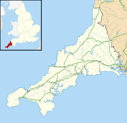
Bakesdown is a hamlet in northeast Cornwall, England, United Kingdom at grid reference SS 246 005.
Bakesdown is 5 miles (8 kilometres) southeast of Bude[1] in the civil parish of Week St Mary.
References

A stream near Bakesdown
- ↑ Ordnance Survey: Landranger map sheet 190 Bude & Clovelly ISBN 978-0-319-23145-6
This article is issued from Wikipedia - version of the 10/16/2015. The text is available under the Creative Commons Attribution/Share Alike but additional terms may apply for the media files.
