Bayou L'Ourse, Louisiana
| Bayou L'Ourse, Louisiana | |
| Census-designated place | |
| Country | United States |
|---|---|
| State | Louisiana |
| Parish | Assumption |
| Elevation | 5 ft (1.5 m) |
| Coordinates | 29°43′18″N 91°03′28″W / 29.72167°N 91.05778°WCoordinates: 29°43′18″N 91°03′28″W / 29.72167°N 91.05778°W |
| Area | 7.1 km2 (2.7 sq mi) |
| - land | 7.1 km2 (2.7 sq mi) |
| - water | 0.0 km2 (0 sq mi), 0% |
| Population | 1,978 (2010) |
| Density | 280.4/km2 (726.2/sq mi) |
| Timezone | CST (UTC-6) |
| - summer (DST) | CDT (UTC-5) |
| Area code | 225 |
 Location of Bayou L'Ourse in Louisiana
| |
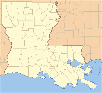
 Location of Louisiana in the United States
| |
Bayou L'Ourse is a census-designated place (CDP) in Assumption Parish, Louisiana, United States. The population was 1,978 at the 2010 census.[1]
Geography
Bayou L'Ourse is located at 29°43′18″N 91°3′28″W / 29.72167°N 91.05778°W,[2] at the intersection of Louisiana Highway 662 and LA 398. It is 12 miles (19 km) east of Morgan City and 18 miles (29 km) west of Thibodaux.
According to the United States Census Bureau, the CDP has a total area of 2.7 square miles (7.1 km2), all land.[1]
References
- 1 2 "Geographic Identifiers: 2010 Demographic Profile Data (G001): Bayou L'Ourse CDP, Louisiana". U.S. Census Bureau, American Factfinder. Retrieved May 15, 2013.
- ↑ "US Gazetteer files: 2010, 2000, and 1990". United States Census Bureau. 2011-02-12. Retrieved 2011-04-23.
Municipalities and communities of Assumption Parish, Louisiana, United States | ||
|---|---|---|
| Village | 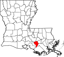 | |
| CDPs | ||
| Other unincorporated communities |
| |
This article is issued from Wikipedia - version of the 9/17/2016. The text is available under the Creative Commons Attribution/Share Alike but additional terms may apply for the media files.