Belle Alliance, Louisiana
| Belle Alliance | |
| Unincorporated community | |
| Country | United States |
|---|---|
| State | Louisiana |
| Parish | Assumption |
| Elevation | 26 ft (7.9 m) |
| Coordinates | 30°6′0″N 90°59′39″W / 30.10000°N 90.99417°WCoordinates: 30°6′0″N 90°59′39″W / 30.10000°N 90.99417°W |
| Area | 2.5 sq mi (6.5 km2) |
| - land | 2.5 sq mi (6 km2) |
| - water | 0.0 sq mi (0 km2), 0% |
| Timezone | CST (UTC-6) |
| - summer (DST) | CDT (UTC-5) |
| Area code | 225 |
 Location of Belle Alliance in Louisiana
| |
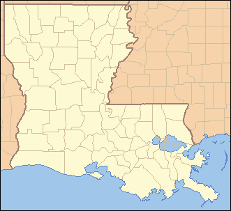
 Location of Louisiana in the United States
| |
Belle Alliance is an unincorporated community in Assumption Parish, Louisiana, United States. It is part of the Pierre Part Micropolitan Statistical Area.
History
Belle Alliance is named after the Belle Alliance Plantation[1] located on the east bank of Bayou Lafourche in Assumption Parish, about five miles (8 km) out of Donaldsonville. During the 1770s, this 7,000-acre (28 km2) plot was granted to Don Juan Vives, a physician and military officer of the Spanish government.[2] The actual Belle Alliance Plantation was built by a successful sugar planter Charles Anton Kock, also owner of St. Emma Plantation around 1846.[3]
Today, the site is known as the community of Belle Alliance. The plantation is listed on the National Register of Historic Places.
References
- ↑ Leeper, Clare D'Artois (19 October 2012). Louisiana Place Names: Popular, Unusual, and Forgotten Stories of Towns, Cities, Plantations, Bayous, and Even Some Cemeteries. LSU Press. p. 38. ISBN 978-0-8071-4740-5.
- ↑ www.rootsweb.com "BELLE ALLIANCE PLANTATION"
- ↑ www.discoverourtown.com "Belle Alliance Plantation"
Municipalities and communities of Assumption Parish, Louisiana, United States | ||
|---|---|---|
| Village | 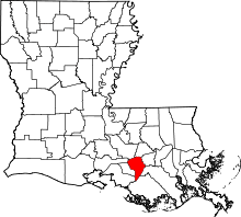 | |
| CDPs | ||
| Other unincorporated communities |
| |
This article is issued from Wikipedia - version of the 10/27/2016. The text is available under the Creative Commons Attribution/Share Alike but additional terms may apply for the media files.