Bhitarwar
| Gwalior | |
|---|---|
| city | |
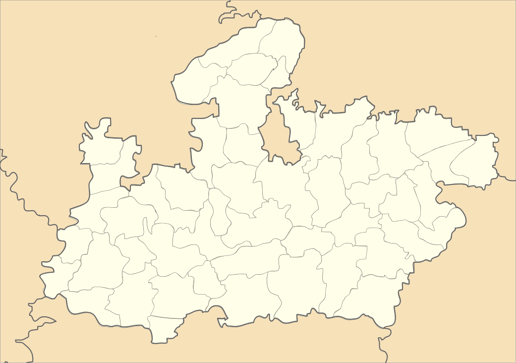 Gwalior  Gwalior Location in Madhya Pradesh, India | |
| Coordinates: 25°48′N 78°07′E / 25.8°N 78.12°ECoordinates: 25°48′N 78°07′E / 25.8°N 78.12°E | |
| Country |
|
| State | Madhya Pradesh |
| District | Gwalior |
| Elevation | 199 m (653 ft) |
| Population (2011) | |
| • Total | 19,099 |
| Languages | |
| • Official | Hindi |
| Time zone | IST (UTC+5:30) |
| PIN | 475220 |
| Vehicle registration | MP07 |
Bhitarwar is a town and a nagar parishad in Gwalior district in the state of Madhya Pradesh, India. The nearest Railway station is Dabra, and the nearest airport is Gwalior. The distance from Gwalior is 72 km. The town is surrounded by a river called Parvati.
Geography
Bhitarwar is located at 25°48′N 78°07′E / 25.8°N 78.12°E.[1] It has an average elevation of 199 metres (652 feet). Bhitarwar has so many good villages in surrounding like Mastoora, Jaura, Karhiya, Basai, Shankhni, Bagbai, Gohinda, Dadhoomar, Saansan etc. famous temple of dhoomeshwar mahadev (14 km), lakheshwari mata (9 km) and goleshwar (achalnath) mahadev, it also has an old fort nearest which a holy river PARVATI Nadi flows. Here a small hill on which a HANUMAN temple is called "Laxmanghar" which is made by town's people from where town view looks so beautiful..there are also nearer to diyadhay. There is a very big cricket ground called deen dayal stadium. Nearby it has a hallyped. 15 km away from Bhitarwar is a cargo airport. Bhitarwar also has a beautiful muktidham called parvti muktidham. It's hill called laxamn grah is the house of red marvel and red clay.
Demographics
As of 2012 India census,[2] Bhitarwar had a population of 19,099. Males constitute 54% of the population and females 46%. Bhitarwar has an average literacy rate of 54%, lower than the national average of 59.5%; with male literacy of 65% and female literacy of 41%. 17% of the population is under 6 years of age.
Education
80% of the population is educated in the town. Education infrastructure is still in the development phase. This town has a Higher Secondary school and a Government Degree college. Bhitarwar has many good schools like 1. Govt higher secondary school 2. Swargasram school 3. Pushpa sengar school 4. Sarswati shisu mandir 5. Kamla school 6. Vivekand school Bhitarwar is called education hub for nearby villages and towns
References
- ↑ Falling Rain Genomics, Inc - Bhitarwar
- ↑ "Census of India 2001: Data from the 2001 Census, including cities, villages and towns (Provisional)". Census Commission of India. Archived from the original on 2004-06-16. Retrieved 2008-11-01.