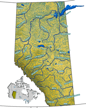
Buck Lake (Alberta)
| Buck Lake | |
|---|---|
| Location | County of Wetaskiwin No. 10, Alberta |
| Coordinates | 52°59′06″N 114°45′50″W / 52.98500°N 114.76389°WCoordinates: 52°59′06″N 114°45′50″W / 52.98500°N 114.76389°W |
| Type | Eutrophic |
| Primary inflows | Bayview Creek, Willowhaven Creek, Muskrat Creek, Mink Creek |
| Basin countries | Canada |
| Max. length | 9.3 km (5.8 mi) |
| Max. width | 6.1 km (3.8 mi) |
| Surface area | 25.4 km2 (9.8 sq mi) |
| Average depth | 6.2 m (20 ft) |
| Max. depth | 12.2 m (40 ft) |
| Water volume | 157 MCM |
| Residence time | 8.0 years |
| Shore length1 | 32.8 km (20.4 mi) |
| Surface elevation | 881 m (2,890 ft) |
| Settlements | Buck Lake |
| References | Buck Lake, Buck Lake Monitoring Program 1992 |
| 1 Shore length is not a well-defined measure. | |
Buck Lake is a lake in Alberta.
The shoreline of Buck Lake is home to several developments including Greystones and Oakes Bay on the north east arm. Most of the shoreline remains undeveloped.
This article is issued from Wikipedia - version of the 11/10/2016. The text is available under the Creative Commons Attribution/Share Alike but additional terms may apply for the media files.