Bunker Hill, Amador County, California
Coordinates: 38°25′36″N 120°49′42″W / 38.42667°N 120.82833°W
| Bunker Hill | |
|---|---|
| Unincorporated community | |
 Bunker Hill  Bunker Hill Location in California | |
| Coordinates: 38°25′36″N 120°49′42″W / 38.42667°N 120.82833°W | |
| Country | United States |
| State | California |
| County | Amador County |
| Elevation[1] | 935 ft (285 m) |
Bunker Hill (formerly, New Philadelphia and Dog Town)[2] is an unincorporated community in Amador County, California. It is located 4 miles (6 km) south-southeast of Plymouth,[2] at an elevation of 935 feet (285 m).
References
- ↑ U.S. Geological Survey Geographic Names Information System: Bunker Hill, Amador County, California
- 1 2 Durham, David L. (1998). California's Geographic Names: A Gazetteer of Historic and Modern Names of the State. Clovis, Calif.: Word Dancer Press. p. 457. ISBN 1-884995-14-4.
External links
Municipalities and communities of Amador County, California, United States | ||
|---|---|---|
| Cities | 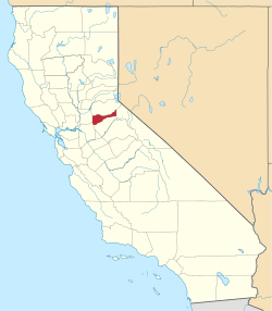 | |
| CDPs | ||
| Unincorporated communities | ||
| Ghost towns |
| |
| Footnotes | ‡This CDP also has portions in an adjacent county or counties | |
This article is issued from Wikipedia - version of the 7/18/2016. The text is available under the Creative Commons Attribution/Share Alike but additional terms may apply for the media files.