Forest Home, Amador County, California
Coordinates: 38°27′54″N 120°57′51″W / 38.46500°N 120.96417°W
| Forest Home | |
|---|---|
| Former settlement | |
 Forest Home Location in California | |
| Coordinates: 38°27′54″N 120°57′51″W / 38.46500°N 120.96417°W | |
| Country | United States |
| State | California |
| County | Amador County |
| Elevation[1] | 581 ft (177 m) |
Forest Home is a former settlement in Amador County, California.[1] It was located 6.25 miles (10.1 km) west of Plymouth,[2] at an elevation of 581 feet (177 m).[1] It still appeared on USGS maps as of 1944.[1]
Forest Home began as a gold mining center, north of Ione.[3] Both placer and hydraulic mining was conducted.[3] After the gold petered out, copper mining began.[3]
A post office operated at Forest Home from 1862 to 1905, moving once in 1886.[2]
References
- 1 2 3 4 U.S. Geological Survey Geographic Names Information System: Forest Home, Amador County, California
- 1 2 Durham, David L. (1998). California's Geographic Names: A Gazetteer of Historic and Modern Names of the State. Clovis, Calif.: Word Dancer Press. p. 486. ISBN 1-884995-14-4.
- 1 2 3 Miller, Donald C. (1978). Ghost Towns of California. Boulder, Colorado: Pruett Publishing Company. p. 65. ISBN 0871085178.
Municipalities and communities of Amador County, California, United States | ||
|---|---|---|
| Cities | 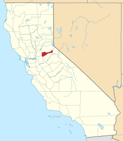 | |
| CDPs | ||
| Unincorporated communities | ||
| Ghost towns |
| |
| Footnotes | ‡This CDP also has portions in an adjacent county or counties | |
This article is issued from Wikipedia - version of the 12/22/2015. The text is available under the Creative Commons Attribution/Share Alike but additional terms may apply for the media files.