Burmester, Utah
| Burmester, Utah | |
|---|---|
| Unincorporated community | |
 Burmester, Utah  Burmester, Utah | |
| Coordinates: 40°41′28″N 112°27′08″W / 40.69111°N 112.45222°WCoordinates: 40°41′28″N 112°27′08″W / 40.69111°N 112.45222°W | |
| Country | United States |
| State | Utah |
| County | Tooele |
| Founded | Before 1906 |
| Named for | Frank T. Burmester |
| Elevation | 4,219 ft (1,286 m) |
| Time zone | Mountain (MST) (UTC-7) |
| • Summer (DST) | MDT (UTC-6) |
| Area code(s) | 435 |
| GNIS feature ID | 1437515[1] |
| Historical population | |||
|---|---|---|---|
| Census | Pop. | %± | |
| 1920 | 159 | — | |
| 1930 | 164 | 3.1% | |
| 1940 | 28 | −82.9% | |
| Source: U.S. Census Bureau[2] | |||
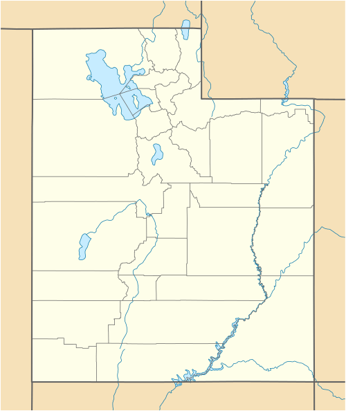
Burmester is an unincorporated community in Tooele County, Utah, United States. Burmester is located along Interstate 80 7 miles (11 km) north of Grantsville. Burmester was originally settled as a railroad community under the name of Grants Station; in 1906 it was renamed for landowner Frank T. Burmester.[3] The community severely declined during the Great Depression.
References
- ↑ U.S. Geological Survey Geographic Names Information System: Burmester, Utah
- ↑ "Census of Population and Housing". U.S. Census Bureau. Retrieved November 4, 2011.
- ↑ Van Cott, John W. (1990). Utah Place Names. Salt Lake City, Utah: University of Utah Press. p. 57. ISBN 0-87480-345-4.
Municipalities and communities of Tooele County, Utah, United States | ||
|---|---|---|
| Cities | 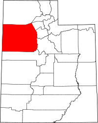 | |
| Towns | ||
| CDPs | ||
| Unincorporated communities | ||
| Ghost towns | ||
This article is issued from Wikipedia - version of the 11/11/2016. The text is available under the Creative Commons Attribution/Share Alike but additional terms may apply for the media files.