Cardigan Island
| Native name: <span class="nickname" ">Ynys Aberteifi | |
|---|---|
 Carreg Lydan and Cardigan Island | |
 Cardigan Island Cardigan Island (Wales) | |
| Geography | |
| Location | Cardigan, Wales |
| Coordinates | 52°08′00″N 4°41′00″W / 52.133331°N 4.683333°W |
| Administration | |
|
Wales | |
| County | Ceredigion |
| Additional information | |
| Uninhabited | |
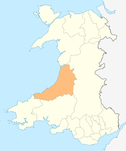
Cardigan Island (Welsh: Ynys Aberteifi) is a small, uninhabited island lying north of Cardigan, in Ceredigion, south-west Wales. It reaches a height of 52 m (171 ft) a.s.l., and 38 acres in extent.
Lying in the estuary of the River Teifi, it is known for having a small colony of grey seals. It is within 200 metres of the Welsh coastline near Gwbert. It is owned and managed by the Wildlife Trust of South and West Wales.
The island was once the home of puffins and Manx shearwater. A guide book in the 1890s referred to the puffins as “Welsh parrots”. In 1924 Welsh writer and naturalist Ronald Lockley wrote that there were probably 25 to 30 pairs on the island. However, in 1934 a ship ran aground on the island in a storm, and rats made it ashore. Over a period of years they ate the eggs and chicks of nesting seabirds, and wiped out the island’s population of puffin and Manx shearwater, which have never returned.[1]
Today birds such as guillemots, razorbills, cormorants, shags, fulmars and a variety of sea-gulls all nest on the island. Bottlenose dolphins and Atlantic grey seals are also often seen in the sea around the island.[2]
See also
References
- ↑ walesonline Administrator (30 December 2010). "A history of Cardigan Island". walesonline.
- ↑ "Visit Cardigan Island". cardiganisland.net.
