Cempaka Putih

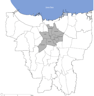
Cempaka Putih is a subdistrict of Central Jakarta, Indonesia. Cempaka Putih is roughly bounded by Jenderal Ahmad Yani bypass highway to the east, Pramuka boulevard to the south, Letjend Suprapto boulevard to the north, and a railway line to the west. The name "Cempaka Putih" derived from flowering plant white champaca.
The office of Cempaka Putih is located in Jalan Rawa Kerbau III, Rawasari, Kelurahan Cempaka Putih Barat Kecamatan Cempaka Putih, Jakarta Pusat (10520).[1]
History
Cempaka Putih Subdistrict was formerly part of Senen Subdistrict, later broken up in 1969 into Cempaka Putih Subdistrict and Senen Subdistrict. At first, Cempaka Putih Subdistrict consisted of seven Administrative Village: Cempaka Putih Timur, Cempaka Putih Barat, Galur, Tanah Tinggi, Kampung Rawa, Johar Baru, and Rawasari. In 1993, the Administrative Village of Galur, Tanah Tinggi, Kampung Rawa, and Johar Baru was separated to form the Subdistrict of Johar Baru ("New Johar").[1]
The Administrative Village of Cempaka Putih Barat was the first area to be developed in Cempaka Putih Subdistrict. In 1952, 30 hectares of land in Rawasari were allocated for housing, this area roughly correspond to the present Cempaka Putih Barat Administrative Village.[2] By 1960, the housing neighborhood had emerged, roughly at the same time with the development of Tanah Tinggi housing neighborhood.[3]
Kelurahan (administrative village)
The Subdistrict of Cempaka Putih is divided into three administrative villages (kelurahan):
- Cempaka Putih Timur ("East Cempaka Putih") – area code 10510
- Cempaka Putih Barat ("West Cempaka Putih") – area code 10520
- Rawasari – area code 10570
Areas
Most parts of Cempaka Putih subdistrict are residential area. Mostly are high density urban kampung, yet some areas in Taman Solo area around Cempaka Putih Raya street are consist of well-planned upscale housings.
Certain parts facing major roads such as Pramuka, Ahmad Yani, and Letjend Suprapto streets are recognized as business and office areas. There are also certain street unofficially recognized as distinctive business area, such as Cempaka Putih Raya street that originally are residential area, now turned into row of restaurants, clothing stores and supermarket area, while Rawasari Selatan Raya all the way to Percetakan Negara Street are flanked with rows of tiles, ceramics and building materials stores.
List of important places
- Islamic Hospital Jakarta
- Pertamina Jaya Hospital
- Trisakti University F Campus
- Jayabaya University B Campus
- YARSI University
- Salemba Prison
- Arcici Sport Center
- Green Pramuka Apartement
- Cempaka Hotel
- Patra Jasa Hotel
- Sentral Hotel Jakarta
References
- 1 2 "Kecamatan Cempaka Putih". Kecamatan Cempaka Putih. IdJakarta.com. Retrieved 3 November 2014.
- ↑ Merrillees 2015, p. 19.
- ↑ Djakarta Kebajoran (Map). Pembina. 1960.
| Wikimedia Commons has media related to Cempaka Putih. |
Coordinates: 6°11′02″S 106°52′01″E / 6.184°S 106.867°E