Cenad
| Cenad | |
|---|---|
| Commune | |
 Cenad | |
| Coordinates: 46°8′N 20°35′E / 46.133°N 20.583°E | |
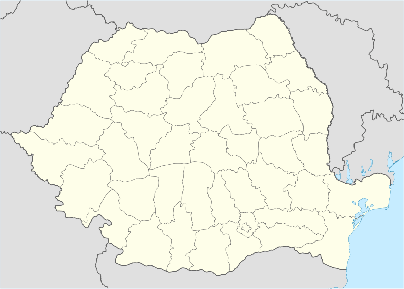
| Country |
|
| County |
|
| Government | |
| • Mayor | Nicolae Crăciun (PNL) |
| Population (2011)[1] | 4,207 |
| Time zone | EET (UTC+2) |
| • Summer (DST) | EEST (UTC+3) |
Cenad (Hungarian: Csanád; Serbian: Чанад) is a commune in Timiș County, Banat, Romania. It is composed of a single village, Cenad. The village serves as a customs point on the border with Hungary.
History
Cenad was known until the 13th century as Morisena. The legionary camp of the Legio XIII Gemina was located there. In the Middle Ages, the site was a temporary capital for Huns and then for Avars. It was subsequently ruled by the First Bulgarian Empire, prior to the Hungarian conquest. In 1028 or 1030, Chanadinus, a local pretender to Ahtum's duchy, rebelled against Ahtum and conquered the duchy with the help of Magyars.[2]
It was the initial seat of Csanád County, until 1526. It was part of the Eastern Hungarian Kingdom between 1526 and 1551, before the Ottoman conquest. It was the centre of the Sanjak of Çanad between 1551 and 1595 and again between 1598 and 1707. From 1707 to 1716, it was a kaza centre within the Sanjak of Temeşvar in the Eyalet of Temeşvar. Ottoman rule there was interrupted when the area was occupied by the Principality of Transylvania between 1595 and 1598, and ended with the Austrian conquest in 1716. It was part of the Banat of Temesvar between 1716 and 1778 and of Nagyszentmiklós district in Torontal County between 1778 and 1918. It was occupied by Serbian troops in 1918 and finally passed to Romania after the Treaty of Trianon in 1920.
Demography
| Census | Ethnicities | |||||||
|---|---|---|---|---|---|---|---|---|
| Year | Population | Romanians | Germans | Hungarians | Serbs | Roma | Others | Unknown |
| 1880 | 6,982 | 2,074 | 3,166 | 128 | 1,495 | - | 6 | - |
| 1900 | 7,389 | 2,246 | 3,244 | 211 | 1,583 | - | 1 | - |
| 1930 | 7,236 | 2,120 | 2,985 | 655 | 1,216 | 227 | 22 | - |
| 1977 | 5,022 | 2,023 | 1,419 | 682 | 654 | 229 | 10 | - |
| 1992 | 3,991 | 2,304 | 83 | 734 | 401 | 450 | 18 | - |
| 2002 | 4,263 | 2,812 | 48 | 677 | 266 | 371 | 89 | - |
| 2011 | 4,207 | 2,667 | 27 | 520 | 269 | 519 | 5 | 181 |
At the 2011 census, of those for whom ethnic data were available, 66.2% of inhabitants were Romanians, 12.9% Hungarians, 12.9% Roma, 6.7% Serbs and 0.7% Germans.
Coordinates: 46°08′N 20°35′E / 46.133°N 20.583°E
References
- ↑ (Romanian) Populaţia stabilă după etnie - judeţe, municipii, oraşe, comune, National Institute of Statistics; accessed September 13, 2016
- ↑ I. A. Pop, Românii și maghiarii în secolele IX-XIV. Geneza statului medieval în Transilvania, p. 133-36. Centrul de Studii Transilvane, Fundația Culturală Română, Cluj-Napoca, 1996