Hazar, Turkmenistan
| Hazar | |
|---|---|
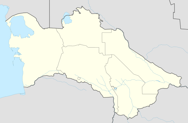 Hazar Location in Turkmenistan | |
| Coordinates: 39°24′46″N 53°7′41″E / 39.41278°N 53.12806°E | |
| Country |
|
| Province | Balkan Province |
| Population (1989 census)[1] | |
| • Total | 28,100 [2] |
Hazar (formerly known as Çeleken, also written Cheleken; Russian: Челекен; Persian: Chaharken چهارکن) is a city located on the Cheleken Peninsula of the Caspian Sea. It is part of the Balkan Province of western Turkmenistan
History
In the 4th/10th century, Turkmen pirates pillaged ships wrecked on the Sīāhkūh (Mangyshlak) peninsula; this activity peaked in the 12th/18th century. Their principal haunts were located on the rocky coasts surrounding the bay of Balkan (Krasnovodsk), on cape Cheleken, and in the neighboring islands (Dargān island, the Ogūrtjoy/Ogurchinskiĭ islands). Usually about half the ships went raiding along the Gīlān, Māzandarān, and Gorgān coasts of Persia, while the other half remained in port to defend against reprisal attacks by the Persians. In fact, the various expeditions of the Persian King Nadir Shah to the Turkman coast, including his construction of a fort dominating the bay of Balḵān, had little effect.[3]
Petroleum
This city and area is within a rich petroleum oil reserves. As far back as 1st century, the Greek philosopher Strabo said, "They say, diggers opened oily springs near the Okh River. Indeed, if a country has alkaline, asphalt, sticky, sulfurous waters, it is most likely to have oily springs. Only, their scarceness makes this fact miraculous". In 1743, a Captain Woodruff of a British merchant company remarked that there were 36 Ogurdjali families resided on the island. They had 26 large boats and some oil wells.
Prior to 1917, the Moscow Society, Cheleken-Dagestan Society, Kuzmin and Co, Bostondjoglo, South Caucasian Mining Society, and Second Moscow Group were among established Russian oil companies. By 1925, after the establishment of Soviet Turkmenistan, wells had been nationalized and oil production decreased. By the late 1950s, oil production index went up again.[4]
References
- ↑ Population census 1989, Demoscope Weekly, No. 359-360, 1–18 January 2009 (search for Туркменская ССР) (Russian)
- ↑ http://dic.academic.ru/dic.nsf/ruwiki/1174862
- ↑ de Planhol, Xavier: (1990), CASPIAN SEA i. GEOGRAPHY, Encyclopædia Iranica. Vol.V, Fasc. 1, pp. 48-50
- ↑ Black Gold of Ancient Hazar
External links
- Picture of Hazar / Cheleken on Panoramio
Capital: Ashgabat | |
Coordinates: 39°26′42″N 53°06′54″E / 39.445°N 53.115°E