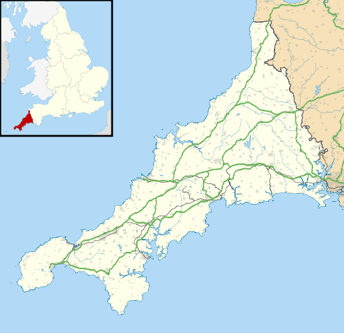
Cooksland, Cornwall

Cooksland
Cooksland
 Cooksland shown within Cornwall
OS grid referenceSX083674
Civil parishBodmin
Unitary authorityCornwall
Ceremonial countyCornwall
RegionSouth West
CountryEngland
Sovereign stateUnited Kingdom
Police Devon and Cornwall
Fire Cornwall
Ambulance South Western
EU Parliament South West England
List of places
UK
England
Cornwall

Coordinates: 50°28′30″N 4°42′11″W / 50.4750°N 4.703°W / 50.4750; -4.703Cooksland is a hamlet in Cornwall, England.[1] It is on the A30 main road about one mile northeast of Bodmin.[2]

References

  1. Ordnance Survey: Landranger map sheet 190 Bude & Clovelly (Map). Ordnance Survey. ISBN 978-0-319-23145-6.
  2. Ordnance Survey One-inch Map of Great Britain; Bodmin and Launceston, sheet 186. 1961.
This article is issued from Wikipedia - version of the 1/19/2016. The text is available under the Creative Commons Attribution/Share Alike but additional terms may apply for the media files.