Crugmeer
Coordinates: 50°33′02″N 4°57′51″W / 50.5505°N 4.9643°W
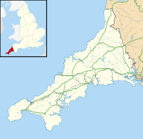
Crugmeer (Cornish: Krugmeur, great barrow) is a hamlet in north Cornwall, England, United Kingdom. It is situated one-and-a-half miles (2 kilometres) from Padstow to the west of the River Camel estuary.
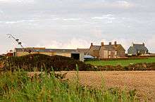
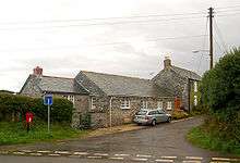
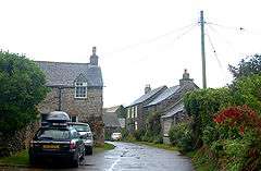
The hamlet consists of half-a-dozen houses and a farm at the junction of two lanes. One lane gives access to Crugmeer from the Padstow-St Merryn road then continues northeast to Lellizzick, Hawker's Cove and Stepper Point. The other lane leads west from Crugmeer to Trevone beach.[1][2]
Crugmeer lies within the Cornwall Area of Outstanding Natural Beauty (AONB). Almost a third of Cornwall has AONB designation, with the same status and protection as a National Park.


- ↑ The Crugmeer Society website
- ↑ Ordnance Survey: Landranger map sheet 200 Newquay & Bodmin ISBN 978-0-319-22938-5
External links
![]() Media related to Crugmeer at Wikimedia Commons
Media related to Crugmeer at Wikimedia Commons

