Danton Pinch
Coordinates: 51°05′45″N 1°07′39″E / 51.095828°N 1.127635°E
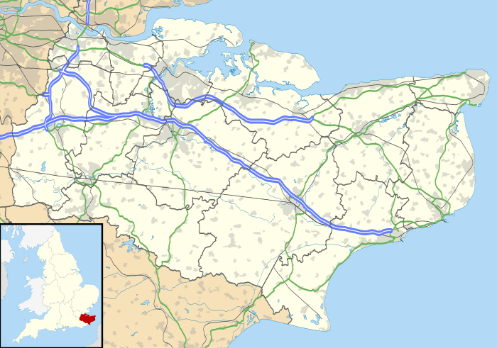
Danton Pinch was a small village in Kent, England north-west of Folkestone. Its location is now within the confines of the Channel Tunnel. The village was demolished[1] and its residents moved when the construction of the tunnel required its demolition. The only evidence of its original existence is a small lane known as Danton Lane which lies north of the site. Evidence of the access road is seen in Satellite imagery where a line of trees runs from the lane to the perimeter fence of the Channel Tunnel.
A fortified house was built in Danton Pinch however as with the village, it no longer exists.
References
External links
This article is issued from Wikipedia - version of the 10/27/2016. The text is available under the Creative Commons Attribution/Share Alike but additional terms may apply for the media files.

