Westenhanger
| Westenhanger | |
 Folkestone Racecourse |
|
 Westenhanger |
|
| District | Shepway |
|---|---|
| Shire county | Kent |
| Region | South East |
| Country | England |
| Sovereign state | United Kingdom |
| Post town | HYTHE |
| Postcode district | CT21 |
| Dialling code | 01303 |
| Police | Kent |
| Fire | Kent |
| Ambulance | South East Coast |
| EU Parliament | South East England |
| UK Parliament | Folkestone and Hythe |
Coordinates: 51°05′27″N 1°02′15″E / 51.0909°N 1.0375°E
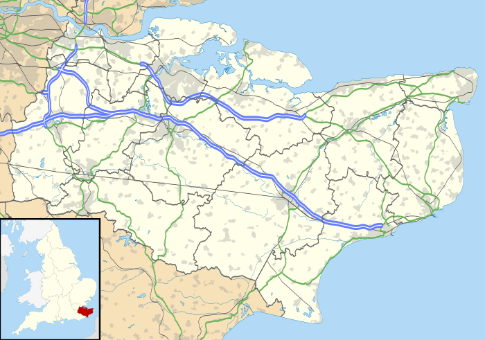
Westenhanger is a small village in south-east Kent, England.[1] It is located around 3 miles (5 km) north-west of Hythe and just south of junction 11 of the M20 motorway. Stone Street, the Roman road from nearby Lympne to Canterbury, passes through the village. At the 2011 Census the population of the village was included in the civil parish of Stanford.
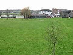
Westenhanger is home to Folkestone Racecourse, which during World War II also served as an airfield, RAF Westenhanger. It closed for redevelopment in December 2012. Another attraction is Westenhanger Castle, located beside the grandstand of the racecourse.
The village also has its own railway station, served by Southeastern trains running between Charing Cross and Dover via Ashford.
References
External links
![]() Media related to Westenhanger at Wikimedia Commons
Media related to Westenhanger at Wikimedia Commons
