Bladbean
Coordinates: 51°11′N 1°07′E / 51.18°N 1.12°E
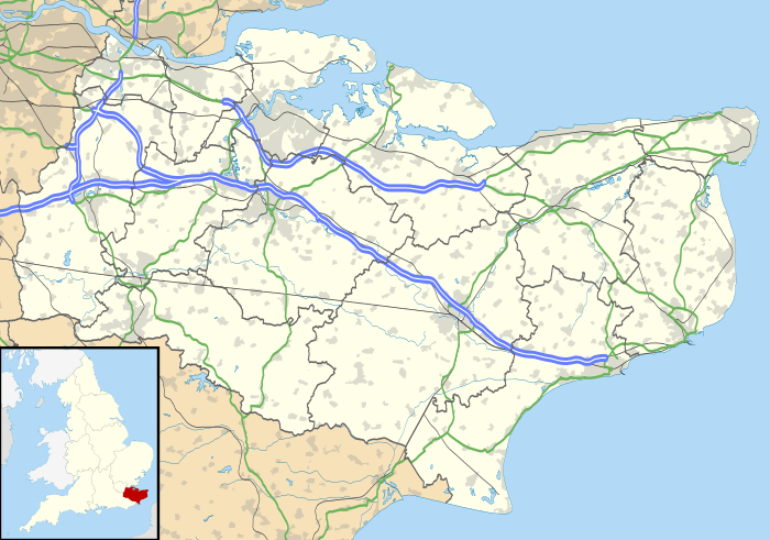
Bladbean is a scattered hamlet between Canterbury and Folkestone in Kent, England. It lies along a minor road east of Stelling Minnis. At the 2011 Census the population was included in the civil parish of Elham.

This article is issued from Wikipedia - version of the 9/19/2016. The text is available under the Creative Commons Attribution/Share Alike but additional terms may apply for the media files.