Endville, Mississippi
| Endville | |
|---|---|
| Unincorporated community | |
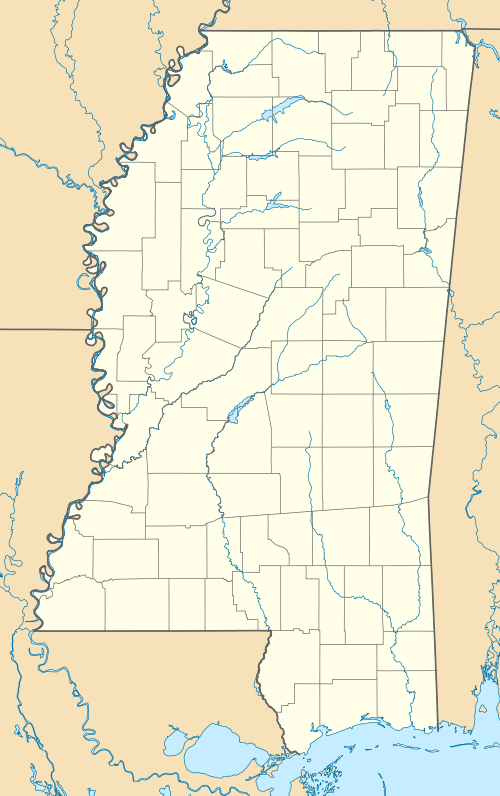 Endville Endville's position in Mississippi. | |
| Coordinates: 34°19′20″N 88°52′59″W / 34.32222°N 88.88306°WCoordinates: 34°19′20″N 88°52′59″W / 34.32222°N 88.88306°W | |
| Country |
|
| State |
|
| County | Pontotoc |
| Elevation | 130 m (440 ft) |
| Time zone | Central (CST) (UTC-6) |
| • Summer (DST) | CDT (UTC-5) |
| GNIS feature ID | 669777 |
| U.S. Geological Survey Geographic Names Information System: Endville, Mississippi | |
Endville (also, Enville ) is an unincorporated community in Pontotoc County, Mississippi, United States.[1]
On April 27, 2011, a tornado hit Endville as part of the April 25–28, 2011 tornado outbreak.[2] The tornado was classified as an EF-0, with estimated wind speeds of 70 mph (110 km/h; 61 kn).[2] The tornado downed several trees and damaged a couple of houses; its path of destruction was 75 yards (69 m) wide and the tornado travelled a path of 1.02 miles (1.64 km).[2]
References
- ↑ "Feature Detail Report for: Endville, Mississippi." USGS. U.S. Geological Survey Geographic Names Information System: Endville, Mississippi Retrieved May 2, 2011.
- 1 2 3 NOAA Memphis Report
Municipalities and communities of Pontotoc County, Mississippi, United States | ||
|---|---|---|
| City | 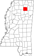 | |
| Towns | ||
| Unincorporated Communities | ||
| Footnotes | ‡This populated place also has portions in an adjacent county or counties | |
This article is issued from Wikipedia - version of the 1/17/2016. The text is available under the Creative Commons Attribution/Share Alike but additional terms may apply for the media files.