Esenguly
| Esenguly | |
|---|---|
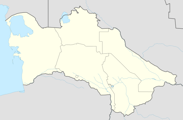 Esenguly Location in Turkmenistan | |
| Coordinates: 37°28′0″N 53°58′0″E / 37.46667°N 53.96667°E | |
| Country |
|
| Province | Balkan Province |
| Elevation | -22 m (−72 ft) |
| Population (1989 census)[1] | |
| • Total | 5,823 |
Esenguly (formerly Gasan-Kuli) is a town in Turkmenistan, part of the Balkan Province. In 1989 the population of the town was 5,823.[1]
Geography
Esenguly lies on a flat, barren plain, just off the coast of the Caspian Sea. The town lies at around 22 metres (72 ft) below sea level.
Climate
Esenguly has a desert climate (Köppen climate classification BWk), with cool winters and hot summers. Temperatures are not as extreme as other parts of Turkmenistan due to the town's proximity to the Caspian Sea. Precipitation is low, but is highest in winter and lowest in summer.
| Climate data for Esenguly | |||||||||||||
|---|---|---|---|---|---|---|---|---|---|---|---|---|---|
| Month | Jan | Feb | Mar | Apr | May | Jun | Jul | Aug | Sep | Oct | Nov | Dec | Year |
| Record high °C (°F) | 28.3 (82.9) |
30.2 (86.4) |
35.0 (95) |
39.1 (102.4) |
44.1 (111.4) |
46.5 (115.7) |
43.7 (110.7) |
44.6 (112.3) |
44.8 (112.6) |
37.8 (100) |
35.5 (95.9) |
29.6 (85.3) |
46.5 (115.7) |
| Average high °C (°F) | 10.8 (51.4) |
12.0 (53.6) |
14.7 (58.5) |
20.5 (68.9) |
25.5 (77.9) |
28.9 (84) |
30.8 (87.4) |
31.3 (88.3) |
29.0 (84.2) |
24.2 (75.6) |
18.0 (64.4) |
12.6 (54.7) |
21.53 (70.74) |
| Daily mean °C (°F) | 4.6 (40.3) |
5.7 (42.3) |
8.9 (48) |
14.6 (58.3) |
20.2 (68.4) |
24.4 (75.9) |
27.1 (80.8) |
27.4 (81.3) |
23.9 (75) |
17.5 (63.5) |
11.2 (52.2) |
6.4 (43.5) |
15.99 (60.79) |
| Average low °C (°F) | 0.1 (32.2) |
1.1 (34) |
4.5 (40.1) |
10.0 (50) |
15.4 (59.7) |
20.0 (68) |
23.6 (74.5) |
23.7 (74.7) |
18.9 (66) |
11.9 (53.4) |
6.0 (42.8) |
1.8 (35.2) |
11.42 (52.55) |
| Record low °C (°F) | −17.9 (−0.2) |
−12.3 (9.9) |
−9.1 (15.6) |
−1.2 (29.8) |
5.5 (41.9) |
9.2 (48.6) |
12.8 (55) |
13.3 (55.9) |
3.7 (38.7) |
0.0 (32) |
−9.3 (15.3) |
−16.4 (2.5) |
−17.9 (−0.2) |
| Average precipitation mm (inches) | 21.5 (0.846) |
20.3 (0.799) |
30.7 (1.209) |
19.0 (0.748) |
12.6 (0.496) |
7.2 (0.283) |
8.1 (0.319) |
7.8 (0.307) |
12.1 (0.476) |
24.2 (0.953) |
24.8 (0.976) |
25.5 (1.004) |
213.8 (8.416) |
| Average precipitation days | 5.1 | 5.0 | 4.4 | 3.5 | 1.0 | 0.9 | 0.8 | 1.1 | 1.2 | 2.7 | 5.0 | 5.7 | 36.4 |
| Average relative humidity (%) | 79.6 | 77.1 | 74.0 | 72.0 | 69.2 | 68.5 | 69.9 | 69.1 | 65.8 | 68.0 | 74.6 | 80.8 | 72.38 |
| Mean monthly sunshine hours | 154.1 | 157.8 | 166.6 | 204.8 | 269.9 | 315.8 | 311.5 | 294.5 | 249.1 | 220.8 | 181.9 | 151.3 | 2,678.1 |
| Source #1: climatebase.ru[2] | |||||||||||||
| Source #2: NOAA (sun only, 1961-1990)[3] | |||||||||||||
Transportation
A road leads north to Chekishler and Okarem, Route 16 connects these towns to Kum Dag. Another road to the east connects the town to Adzhiyab, Chaloyuk, Karadegish and Ak’yayl, from which Route 15 leads to Gyzyletrek and Karakala, and also to Serdar.
References
- 1 2 Population census 1989, Demoscope Weekly, No. 359-360, 1-18 January 2009 (search for Туркменская ССР) (Russian)
- ↑ "Esenguly, Russia". Climatebase.ru. Retrieved 9 February 2013.
- ↑ "Climate Normals for Esenguly". National Oceanic and Atmospheric Administration. Retrieved 9 February 2013.
Capital: Ashgabat | |
Coordinates: 37°28′N 53°58′E / 37.467°N 53.967°E