Evandale, South Australia
| Evandale Adelaide, South Australia | |||||||||||||
|---|---|---|---|---|---|---|---|---|---|---|---|---|---|
 Evandale | |||||||||||||
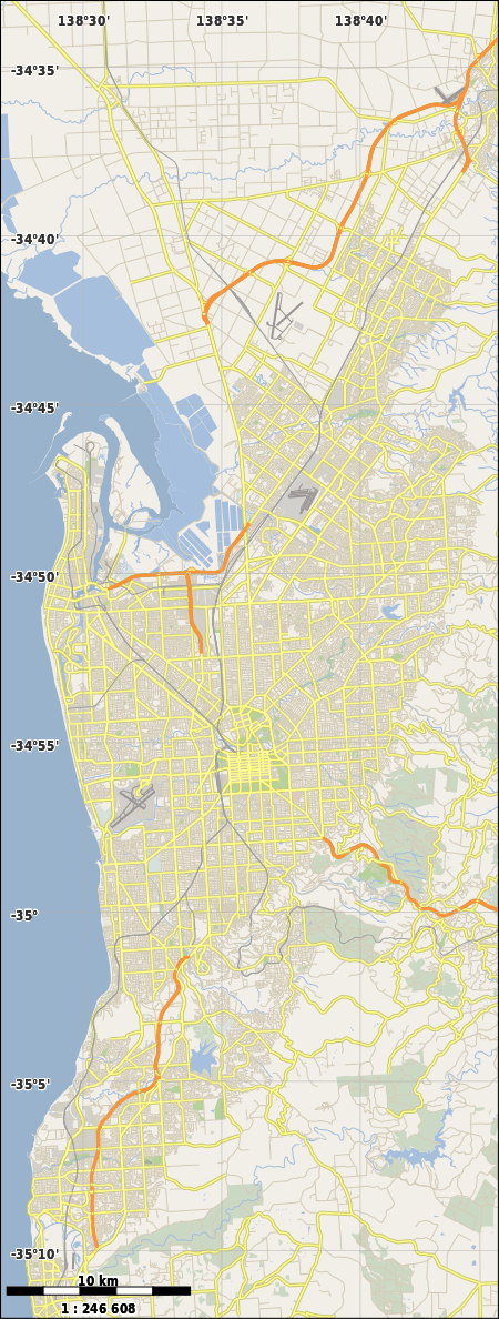
| Coordinates | 34°54′18″S 138°38′06″E / 34.905°S 138.635°ECoordinates: 34°54′18″S 138°38′06″E / 34.905°S 138.635°E | ||||||||||||
| Population | 1,244 (2006 census)[1] | ||||||||||||
| Postcode(s) | 5069 | ||||||||||||
| LGA(s) | City of Norwood Payneham St Peters | ||||||||||||
| State electorate(s) | Dunstan | ||||||||||||
| Federal Division(s) | Adelaide | ||||||||||||
| |||||||||||||
Evandale is a small suburb of Adelaide in the City of Norwood Payneham St Peters. It is bounded on the northwest by Payneham Road and on the east by Portrush Road, with smaller streets bounding the north and south.
References
- ↑ Australian Bureau of Statistics (25 October 2007). "Evandale (State Suburb)". 2006 Census QuickStats. Retrieved 17 July 2008.
This article is issued from Wikipedia - version of the 3/16/2015. The text is available under the Creative Commons Attribution/Share Alike but additional terms may apply for the media files.