Fields Spring State Park
| Fields Spring State Park | |
| Washington State Park | |
 View from Puffer Butte | |
| Country | United States |
|---|---|
| State | Washington |
| County | Asotin |
| Elevation | 3,980 ft (1,213 m) [1] |
| Prominence | 4,472 ft (1,363 m) [2] |
| Coordinates | 46°04′53″N 117°10′14″W / 46.08139°N 117.17056°WCoordinates: 46°04′53″N 117°10′14″W / 46.08139°N 117.17056°W [1] |
| Area | 792 acres (321 ha) |
| Established | Unspecified |
| Management | Washington State Parks and Recreation Commission |
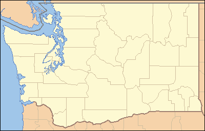 Location in the state of Washington | |
| Website: Fields Spring State Park | |
Fields Spring State Park is a 792-acre (321 ha) Washington state park located 4.5 miles (7.2 km) south of Anatone, Washington (or 30 miles (48 km) south of Clarkston), on State Route 129. The park includes Puffer Butte, which affords views of Idaho, Oregon, and Washington including the Wallowa Mountains and the Grand Ronde and Snake River basins.
Activities and amenities
The park offers trails for hiking, biking, and cross-country skiing, athletic fields, and picnicking facilities. The park has 20 camping spaces and two teepees are available with reservation.[3] The park also has two Environmental Learning Centers: Puffer Butte[4] and Wohelo.[5]
References
- 1 2 "Fields Spring State Park". Geographic Names Information System. United States Geological Survey.
- ↑ "Puffer Butte". Geographic Names Information System. United States Geological Survey.
- ↑ "Fields Spring State Park". Washington State Parks and Recreation Commission. Retrieved February 10, 2015.
- ↑ "Puffer Butte at Fields Spring State Park". Washington State Parks and Recreation Commission. Retrieved February 10, 2015.
- ↑ "Wohelo at Fields Spring State Park". Washington State Parks and Recreation Commission. Retrieved February 10, 2015.
External links
- Fields Spring State Park Washington State Parks and Recreation Commission
- Fields Spring State Park Map Washington State Parks and Recreation Commission
This article is issued from Wikipedia - version of the 2/10/2015. The text is available under the Creative Commons Attribution/Share Alike but additional terms may apply for the media files.