Olmstead Place State Park
| Olmstead Place State Park | |
| Washington State Park | |
 | |
| Country | United States |
|---|---|
| State | Washington |
| County | Kittitas |
| Elevation | 1,539 ft (469 m) [1] |
| Coordinates | 46°58′13″N 120°28′19″W / 46.97028°N 120.47194°WCoordinates: 46°58′13″N 120°28′19″W / 46.97028°N 120.47194°W [1] |
| Area | 217 acres (88 ha) |
| Settlement | 1875 [2] |
| - State park | 1968 |
| Management | Washington State Parks and Recreation Commission |
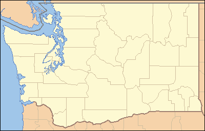 Location in the state of Washington | |
| Website: Olmstead Place State Park | |
|
Olmstead Place State Park | |
| Location | 4 mi. east of Ellensburg near the Kittitas Hwy., Ellensburg, Kittitas County, Washington |
| Nearest city | Ellensburg, Washington |
| Area | 219 acres (89 ha) |
| NRHP Reference # | 71000878 |
| Added to NRHP | March 31, 1971 |
Olmstead Place State Park is a 217-acre (88 ha) Washington state park that preserves a working pioneer farm in Kittitas County. Park activities include picnicking, hiking, fishing, interpretive activities, wildlife viewing, and touring the living farm museum.[2] The park was added to the National Register of Historic Places in 1971.[3]
References
- 1 2 "Olmstead Place State Park". Geographic Names Information System. United States Geological Survey.
- 1 2 "Olmstead Place State Park". Washington State Parks and Recreation Commission. Retrieved February 18, 2016.
- ↑ Ralph H. Rudeen, Chief of Interpretive Services (December 2, 1970). "National Register of Historic Places Registration Form: Olmstead Place State Park" (PDF). National Park Service. Retrieved February 18, 2016.
External links
- Olmstead Place State Park Washington State Parks and Recreation Commission
- Olmstead Place State Park Map Washington State Parks and Recreation Commission
This article is issued from Wikipedia - version of the 3/9/2016. The text is available under the Creative Commons Attribution/Share Alike but additional terms may apply for the media files.