Fort Smith Airport
This article is about the Canadian airport. For the United States airport, see Fort Smith Regional Airport.
| Fort Smith Airport | |||||||||||||||
|---|---|---|---|---|---|---|---|---|---|---|---|---|---|---|---|
|
IATA: YSM – ICAO: CYSM – WMO: 71934 | |||||||||||||||
| Summary | |||||||||||||||
| Airport type | Public | ||||||||||||||
| Operator | Government of the Northwest Territories | ||||||||||||||
| Location | Fort Smith, Northwest Territories | ||||||||||||||
| Time zone | MST (UTC−07:00) | ||||||||||||||
| • Summer (DST) | MDT (UTC−06:00) | ||||||||||||||
| Elevation AMSL | 673 ft / 205 m | ||||||||||||||
| Coordinates | 60°01′13″N 111°57′43″W / 60.02028°N 111.96194°WCoordinates: 60°01′13″N 111°57′43″W / 60.02028°N 111.96194°W | ||||||||||||||
| Map | |||||||||||||||
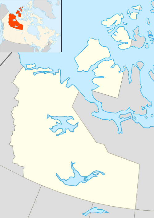 CYSM Location in the Northwest Territories | |||||||||||||||
| Runways | |||||||||||||||
| |||||||||||||||
| Statistics (2010) | |||||||||||||||
| |||||||||||||||
The Fort Smith Airport (IATA: YSM, ICAO: CYSM) is located near Fort Smith, Northwest Territories, Canada. Runway 03/21 has no winter service.
The Fort Smith (District) Heliport is located southeast of the airport.
Airlines and destinations
Passenger
| Airlines | Destinations |
|---|---|
| Northwestern Air | Edmonton, Fort Chipewyan, Hay River, High Level, Yellowknife |
References
- ↑ Canada Flight Supplement. Effective 0901Z 15 September 2016 to 0901Z 10 November 2016
- ↑ Synoptic/Metstat Station Information
- ↑ Total aircraft movements by class of operation
External links
- Past three hours METARs, SPECI and current TAFs for Fort Smith Airport from Nav Canada as available.
| By name | |
|---|---|
| By location indicator | |
| By province/territory | |
| By region | |
| National Airports System | |
| Related | |
| |
This article is issued from Wikipedia - version of the 12/4/2016. The text is available under the Creative Commons Attribution/Share Alike but additional terms may apply for the media files.