Freedom Township, Bourbon County, Kansas
| Freedom Township | |
|---|---|
| Township | |
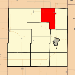 Location in Bourbon County | |
| Coordinates: 37°59′38″N 094°46′06″W / 37.99389°N 94.76833°WCoordinates: 37°59′38″N 094°46′06″W / 37.99389°N 94.76833°W | |
| Country | United States |
| State | Kansas |
| County | Bourbon |
| Area | |
| • Total | 43.79 sq mi (113.43 km2) |
| • Land | 43.72 sq mi (113.23 km2) |
| • Water | 0.07 sq mi (0.19 km2) 0.17% |
| Elevation | 830 ft (253 m) |
| Population (2000) | |
| • Total | 505 |
| • Density | 11.6/sq mi (4.5/km2) |
| GNIS feature ID | 0474563 |
Freedom Township is a township in Bourbon County, Kansas, USA. As of the 2000 census, its population was 505.
Geography
Freedom Township covers an area of 43.79 square miles (113.4 km2) and contains one incorporated settlement, Fulton. According to the USGS, it contains three cemeteries: Avondale, Glendale and Zion.
The Little Osage River and smaller streams of Clever Creek, East Laberdie Creek, Elk Creek, Elm Creek, Laberdie Creek, Lost Creek and West Laberdie Creek run through this township.
Further reading
References
External links
- City-Data.com
- Bourbon County Maps: Current, Historic Collection
Municipalities and communities of Bourbon County, Kansas, United States | ||
|---|---|---|
| Cities |  | |
| Unincorporated communities | ||
| Townships | ||
This article is issued from Wikipedia - version of the 1/21/2016. The text is available under the Creative Commons Attribution/Share Alike but additional terms may apply for the media files.