Gantheaume Point
| Gantheaume Point Western Australia | |
|---|---|
 The Indian Ocean at Gantheaume Point | |
 Gantheaume Point | |
| Coordinates | 17°58′24″S 122°10′41″E / 17.9733°S 122.1780°ECoordinates: 17°58′24″S 122°10′41″E / 17.9733°S 122.1780°E |
| Location |
|
| Region | Kimberley |
Gantheaume Point is a promontory about 6 kilometres (3.7 mi) from Broome, Western Australia.
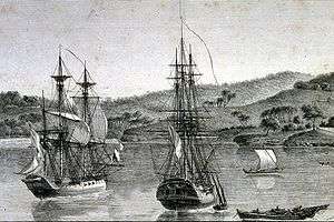
It was named on 24 July 1801 for Honoré Joseph Antoine Ganteaume, by Nicolas Baudin during the Baudin expedition to Australia: this was a French expedition to map the coast of Australia, then known as New Holland.[1]
There are outcrops of Broome Sandstone, deposited in shallow water in this area in the Early Cretaceous period, about 130 million years ago. Footprints from dinosaurs of that time, and plant fossils, are preserved in the sandstone. At very low tide, dinosaur footprints can be seen about 30 metres (98 ft) out to sea.[2][3][4]
References
- ↑ The Discovery of Australia: Naming Australia's coastline Australia for Everyone, accessed 4 April 2016.
- ↑ Our bay Roebuck Bay Working Group, accessed 4 April 2016.
- ↑ Dinosaur footprints Gantheaume Point, Broome Kimberley – Western Australia, accessed 4 April 2016.
- ↑ Natural attractions visitbroome.com, accessed 4 April 2016.
External links
Australian places named by French explorers in the 18th and 19th centuries | ||
|---|---|---|
| South Australia |
|  |
| Western Australia | ||
Only places with the name still in use in either the original or anglicised version are listed above. Many names have been anglicised; for these the original French name appears in brackets. | ||
This article is issued from Wikipedia - version of the 9/29/2016. The text is available under the Creative Commons Attribution/Share Alike but additional terms may apply for the media files.