Glims Holm
| Norse name | Glums Holm |
|---|---|
| Location | |
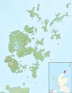 Glims Holm Glims Holm shown within Orkney | |
| OS grid reference | ND472991 |
| Physical geography | |
| Island group | Orkney |
| Area | 55 hectares (0.21 sq mi) |
| Area rank | 189= [1] |
| Highest elevation | 32 metres (105 ft) |
| Administration | |
| Sovereign state | United Kingdom |
| Country | Scotland |
| Council area | Orkney Islands |
| Demographics | |
| Population | 0 |
| References | [2][3][4] |
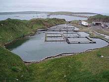
Glims Holm (OS: Glimps Holm; Old Norse: Glums Holm[5]) is a small uninhabited islet in Orkney, Scotland.
Geography
Glims Holm lies in Holm Sound, one of the eastern entrances to Scapa Flow, between Mainland, Orkney and the island of Burray,[6] The Churchill Barriers link South Ronaldsay to the Orkney Mainland. Glims Holm is connected to Lamb Holm, to the northeast, by Barrier number 2, and to Burray by Barrier number 3.
History
Scapa Flow had many entrances, making it difficult to protect the anchorages in this natural harbour. Blockships had been sunk to close the narrow passages, but these proved inadequate. The Churchill Barriers were built during World War II to block the eastern entrances.[7] Much of the labour for the causeways was provided by over 1300 Italian prisoners of war, captured in North Africa and stationed in Camp 60 on Lamb Holm and two camps on Burray.[8]
Footnotes
- ↑ Area and population ranks: there are c. 300 islands over 20 ha in extent and 93 permanently inhabited islands were listed in the 2011 census.
- ↑ 2001 UK Census per List of islands of Scotland
- ↑ Haswell-Smith, Hamish (2004). The Scottish Islands. Edinburgh: Canongate. ISBN 978-1-84195-454-7.
- ↑ Ordnance Survey
- ↑ Anderson, Joseph (Ed.) (1893) Orkneyinga Saga. Translated by Jón A. Hjaltalin & Gilbert Goudie. Edinburgh. James Thin and Mercat Press (1990 reprint). ISBN 0-901824-25-9
- ↑ "Glimps Holm". Gazetteer for Scotland. Retrieved 2009-08-30.
- ↑ Konstam, Angus (2009). Scapa Flow: The Defences of Britain's Great Fleet Anchorage 1914-45. Fortress Series. 85. Osprey Publishing. ISBN 9781846033667.
- ↑ "Lamb Holm". Gazetteer for Scotland. Retrieved 2009-08-30.
| Wikimedia Commons has media related to Glimps Holm. |
Coordinates: 58°52′30″N 2°55′12″W / 58.87500°N 2.92000°W