Khamaed Gewog
| Khamaed Goenkhamae | |
|---|---|
| Gewog | |
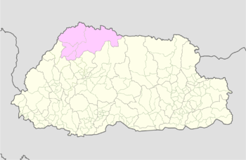
 Location on map of Bhutan (Gasa highlighted) | |
| Coordinates: 27°45′N 89°40′E / 27.750°N 89.667°ECoordinates: 27°45′N 89°40′E / 27.750°N 89.667°E | |
| Country |
|
| District | Gasa District |
| Time zone | BTT (UTC+6) |
Khamaed is a gewog (village block) of the Gasa dzongkhag (district) in Bhutan.[1] It was formerly known as Goenkhamae.[2]
References
- ↑ "Gewogs and chiwogs in Gasa" (PDF). Election Commission, Government of Bhutan. 2011. Retrieved 28 July 2011.
- ↑ "Annual Dzongkhag Statistics 2010: Gasa" (PDF). National Statistics Bureau, Government of Bhutan. 2010. Retrieved 22 August 2011.
This article is issued from Wikipedia - version of the 3/18/2015. The text is available under the Creative Commons Attribution/Share Alike but additional terms may apply for the media files.