Hesketh Bank
| Hesketh Bank | |
| All Saints Church, Hesketh Bank |
|
 Hesketh Bank |
|
| Population | 4,041 (2011) |
|---|---|
| OS grid reference | SD439238 |
| Civil parish | Hesketh with Becconsall |
| District | West Lancashire |
| Shire county | Lancashire |
| Region | North West |
| Country | England |
| Sovereign state | United Kingdom |
| Post town | PRESTON |
| Postcode district | PR4 |
| Dialling code | 01772 |
| Police | Lancashire |
| Fire | Lancashire |
| Ambulance | North West |
| EU Parliament | North West England |
| UK Parliament | South Ribble |
|
|
Coordinates: 53°42′29″N 2°50′56″W / 53.708°N 2.849°W
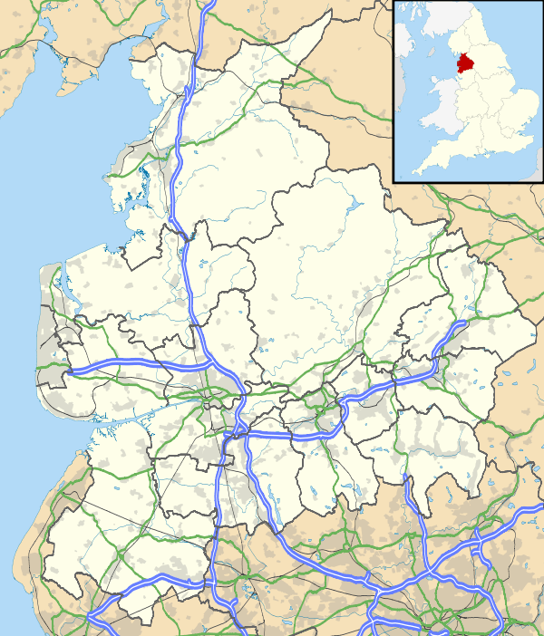
Hesketh Bank is a small agricultural village in Lancashire, England. It lies to the north-east of the town of Southport on the Irish Sea estuary of the River Ribble. The area falls under West Lancashire Borough Council for administrative purposes, and Hesketh-with-Becconsall Parish Council for parochial matters. The population of the civil parish at the 2011 census was 4,041.[1] It is in the South Ribble parliamentary constituency.
History
Due to its geographical location, close to the cities of Preston and Liverpool, the village suffered during the Second World War. Stray bombs hit the old church in 1943, and landed along Becconsall Lane, causing extensive damage to the housing there.
Landmarks
The village has some architectural gems such as Becconsall Old Church which was hit by bomb shrapnel during World War II, All Saints Church on Station Road replaced the old church and is of some architectural significance as is the Becconsall Public House, which shut in June 2009. Local Residents are campaigning to reopen the pub as it is feared the "community hub" will be lost.[2] West Lancashire Light Railway is a heritage steam railway which is now used as a tourism railway.
Geography
Hesketh Bank lies just to the north of the larger village of Tarleton and the village of Banks (North Meols).
 |
Ribble Estuary | Ribble Estuary | Longton, Hutton |  |
| Banks Marsh, Ribble Estuary | |
Much Hoole | ||
| ||||
| | ||||
| Hundred End | Tarleton | Bretherton |
Economy
Due to the village's position on the West Lancashire Coastal Plain it has a rich soil, suitable for the farming of flowers and vegetables - this is still the main economic activity in the area.
A Booths supermarket opened on 11 November 2010.
Transport
The village is located just off the A59 Preston to Liverpool road and the A565 Southport Road has meant it has also developed as a commuter town.
Hesketh Bank railway station was once a stop on the West Lancashire Railway, which ran between Preston and Southport, but the line proved unsuccessful and was shut in 1964. The station site is now occupied by a housing estate.
A new SPAR supermarket is being developed on the former site of The Village Stor [Co-Operative Food] which was closed on 30 December 2011.
Leisure

The village is home to football, cricket, badminton and crown green bowls clubs, the Hesketh Bank Silver Band and the West Lancashire Light Railway.
See also
References
- ↑ "Civil Parish population 2011". Retrieved 17 January 2016.
- ↑ The Bill backs the Bec, Lancashire Evening Post
External links
| Wikimedia Commons has media related to Hesketh Bank. |